Random country generator
One press, one country
249 in the draw
Press Generate to spin through 249 countries and territories.
About this tool
Pull the lever and a reel of 249 countries and territories rolls to a stop on one. Every result links straight to its guide: flag, capital, map, people and money.
- In the reel
- 249
- UN members
- 192
- No land border
- 38
- South of equator
- 59
The edges of the list
Six results worth hoping for
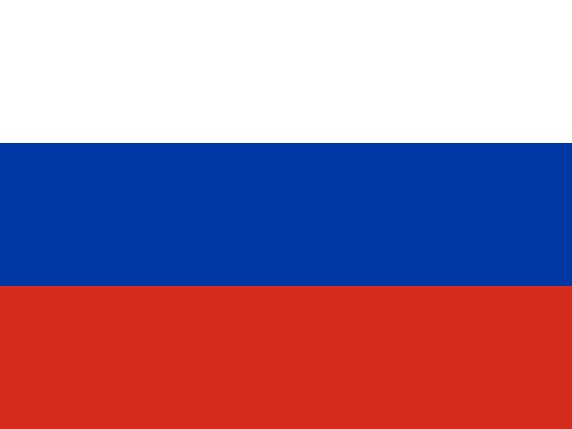
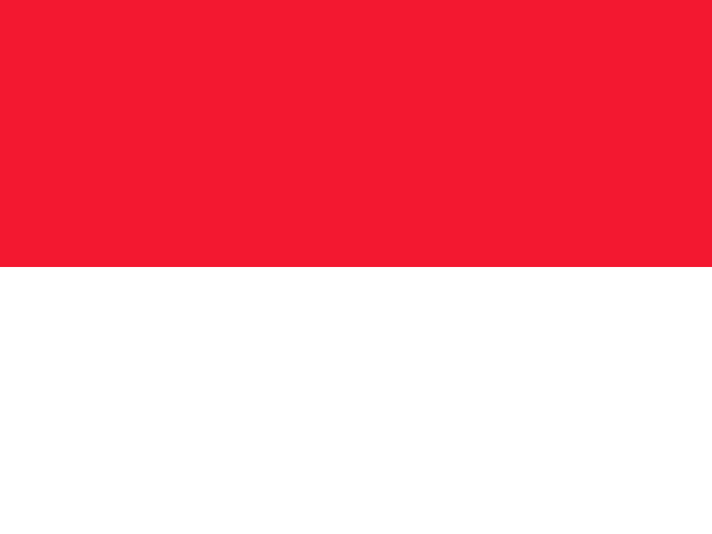
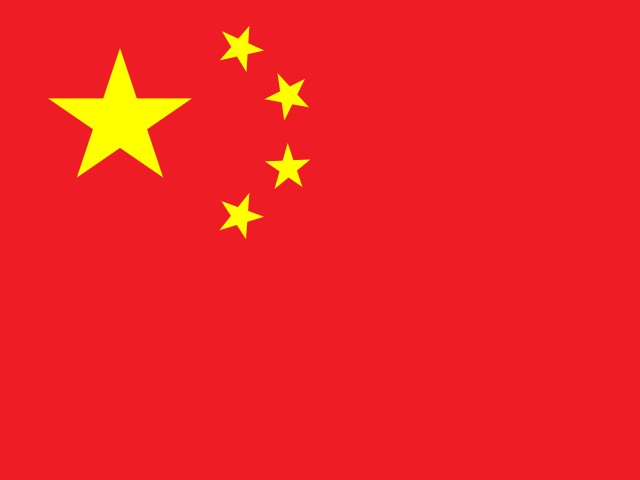
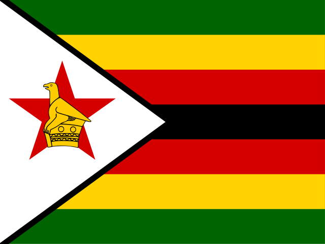
The reel treats Russia and Monaco the same, which is half the fun. These are the extremes of the list, taken from the same data as the country guides.
What you are likely to get
23% of spins land outside the UN
57 of the 249 entries are not UN member states: observer states, and territories such as Bermuda, New Caledonia and Svalbard. They are in the reel because they have their own flags, codes and stamps, and because they are exactly the places people rarely think of.
The Americas and Oceania hold the most territories, so they come up more often than a list of sovereign states would suggest.
- Africa54+5
- Americas34+21
- Asia46+4
- Europe44+9
- Oceania14+13
- Antarctic0+5
Step by step
How to use the random country generator
- 01
Set the draw
Leave the region on Whole world, or pick one continent. Tick UN members only to leave out territories, observer states and disputed places. The line under the filters shows how many are in the draw.
- 02
Decide about repeats
With No repeats ticked, a country cannot come up again until every country in the current draw has had its turn. The count of countries not yet drawn sits next to the total.
- 03
Generate
The reel scrolls through names and stops on one. The result card shows the country with its flag, region and capital, and a link to the full guide.
- 04
Copy or keep going
Copy result puts the country and capital on your clipboard. Generate again from the card, or press Done to go back to the reel.
- 05
Need several? Draw them together
Pick 2 to 10 under “Need several at once?” and press Draw. You get that many different countries in one go, each with its flag, capital and region, ready to copy as a list or download as a CSV.
- 06
Save the list
Every result is added to the history with its region and the time. Copy it, or download it as a text file or CSV. Reset clears the history and starts a fresh no-repeat round.
Where results come from
How likely each region is
Every country has the same chance, so a region’s share of results is simply its share of the list. Africa comes up most often because it has the most entries, not because the generator leans that way.
| Region | In the draw | UN members | Share of results |
|---|---|---|---|
| Africa | 59 | 54 | 23.7% |
| Americas | 55 | 34 | 22.1% |
| Asia | 50 | 46 | 20.1% |
| Europe | 53 | 44 | 21.3% |
| Oceania | 27 | 14 | 10.8% |
| Antarctic | 5 | 0 | 2.0% |
The Americas and Oceania have more territories than their number of sovereign states suggests: Caribbean islands under British, French, Dutch or US administration, and Pacific islands linked to France, New Zealand, the United States and the United Kingdom. Tick UN members only and those drop out, which changes the regional balance noticeably.
The Antarctic entries are the continent itself and a few remote islands. They are in the list because they have their own country codes and flags, not because anyone lives there permanently, and they are worth knowing about all the same.
Equal by country, not by people
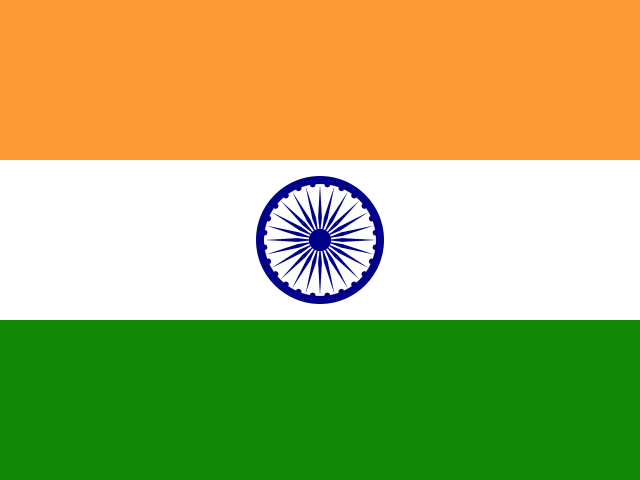
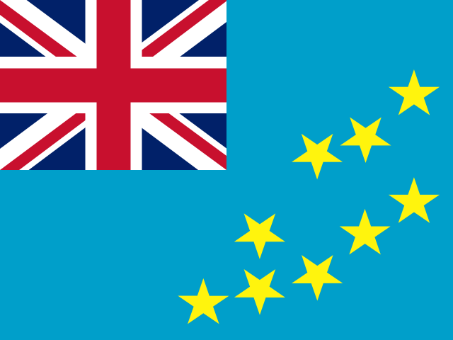
Why Tuvalu comes up as often as India
The generator gives every country one ticket. It does not weight by population, area or fame. That is a deliberate choice, and it has visible effects. Of the 249 places in the draw, 49 have fewer than 100,000 residents and only 16 have a hundred million or more. A random draw is therefore much more likely to hand you a small island or a microstate than one of the giants.
That is the point. If you weighted by population, India and China would together take more than a third of all results, and most of the world’s countries would almost never appear. A person picking a country “at random” in their head already behaves like that, reaching for the large and the famous. An unweighted draw is the only way to meet the rest of the map.
If you do want to restrict the draw, the filters here cover region and UN membership. For population bands, landlocked countries and name search, use the random country picker. To draw a whole set in one go, for teams or a quiz round, use “Need several at once?” under the reel.
Definitions
What counts as a country in this list
There is no single answer to “how many countries are there?”, which is why atlases, sports bodies and governments all give different totals. The United Nations has 193 member states and two non-member observer states, the Holy See (Vatican City) and Palestine. Most people mean roughly that when they say “country”.
This generator uses a wider list: every place that has its own entry in the international standard for country codes, ISO 3166. That brings in three more groups:
- Dependent territories with their own flag, government and often currency, such as Greenland, Bermuda, Aruba, New Caledonia and the Falkland Islands.
- Places with disputed status, such as Kosovo, Taiwan and Western Sahara. Some governments recognise them as states and others do not. Including them is not a political position; it reflects the fact that they have distinct flags, populations and institutions that people reasonably want to read about.
- Remote and uninhabited territories, from Antarctica to Bouvet Island, which have codes for administrative reasons.
Every country guide states whether the place is a UN member. If you need sovereign states only, for a quiz with a strict answer key for example, tick UN members only and the draw drops to the 192 UN members in this list.
Got a result. Now what?
Ten things to find out about any country
A random country is only interesting for as long as it takes to look something up. This checklist works for a lesson, a pub quiz round or your own curiosity, and every item can be answered for a large country and a tiny one alike.
- Find it on a blank map before looking it up.
- Name its capital and its neighbours, or say that it has none.
- Describe the flag, then find out what its colours and symbols stand for.
- Learn how to say hello in its most widely spoken language.
- Find out what currency it uses and roughly what a coffee costs.
- Look up a dish that people there actually eat on an ordinary day.
- Find one place on the UNESCO World Heritage list, or the closest one if it has none.
- Listen to one piece of music recorded there in the last ten years.
- Read one news story from the past month written by a local outlet.
- Work out the time difference, and what time it is there right now.
The first five are covered in the country guide linked from every result. The rest send you to sources made in the country itself, which is where the real picture is.
Easily confused
Results that people mix up
Spin often enough and you will land on a name that sounds like somewhere else. These pairs and groups trip up quiz players and, now and then, airline bookings.
- Niger and Nigeria. Neighbours in West Africa, both named after the Niger River. Niger is the larger by area, mostly Sahara and Sahel, with its capital at Niamey. Nigeria, to the south, has many times more people and its capital at Abuja.
- The two Congos. The Republic of the Congo has its capital at Brazzaville; the much larger Democratic Republic of the Congo has its capital at Kinshasa. The two cities face each other across the Congo River, the closest pair of capital cities in the world apart from Rome and the Vatican.
- Dominica and the Dominican Republic. Dominica is a small, mountainous island in the eastern Caribbean, capital Roseau. The Dominican Republic shares the island of Hispaniola with Haiti, capital Santo Domingo.
- The Guineas. Guinea, Guinea-Bissau and Equatorial Guinea are three separate West and Central African countries, and Papua New Guinea is on the other side of the world, sharing an island with Indonesia.
- Sudan and South Sudan. South Sudan became independent from Sudan in 2011, which makes it the newest UN member state.
- Slovakia and Slovenia. Both central European, both with flags in white, blue and red. Slovakia’s capital is Bratislava; Slovenia’s is Ljubljana.
- Austria and Australia, Iceland and Ireland. Not confusing on a map, but confused often enough in speech and in typed searches to be worth a mention.
When a result like this comes up in a classroom, it is worth pausing on. Spending a minute on why two places share a name, usually a river, a colonial history or a shared people, sticks far better than memorising the difference.
Quiz traps
When the capital is not the biggest city
The first question anyone asks about a random country is its capital, and the most common wrong answer is the largest city. For a surprising number of countries the two are different, usually because the capital was chosen as a compromise between rival cities or built from scratch to move government away from the old centre.
- Purpose-built capitals. Canberra (Australia), Brasília (Brazil), Abuja (Nigeria), Islamabad (Pakistan) and Naypyidaw (Myanmar) were planned as capitals. Sydney, São Paulo, Lagos, Karachi and Yangon remain far larger.
- Compromise capitals. Ottawa was chosen over Toronto and Montreal; Washington, D.C. was carved out between northern and southern states; Wellington sits in the middle of New Zealand rather than in Auckland, the largest city.
- Capitals that moved. Türkiye’s capital moved from Istanbul to Ankara in 1923. Kazakhstan moved its capital from Almaty to Astana in 1997.
- Split arrangements. South Africa has three capitals: Pretoria for the executive, Cape Town for parliament and Bloemfontein for the judiciary. Bolivia’s constitutional capital is Sucre, while the government sits in La Paz. Amsterdam is the capital of the Netherlands, but parliament and government work in The Hague.
- Unusual cases. Switzerland does not legally name a capital at all; Bern is its “federal city”. Côte d’Ivoire’s official capital is Yamoussoukro, though Abidjan is where most government business happens.
Each country guide on the site gives the capital as it is officially recognised, and the capital city quiz is built to catch exactly these traps.
Two letters, three letters
What country codes are, and where you see them
Every entry in this generator has an official code from ISO 3166, the international standard that gives countries and territories a short, unambiguous identifier. There are two common forms, and you meet both every day without noticing.
- Two-letter codes, such as JP for Japan or BR for Brazil, are the basis of most national internet domains: .jp, .br, .de for Germany (from Deutschland). The United Kingdom is the famous exception. Its ISO code is GB, but its domain is .uk.
- Three-letter codes, such as JPN and BRA, appear on passports, in the machine-readable line at the bottom of the photo page, and in a lot of international statistics.
The flag images on this site are filed under the two-letter codes, which is why a code is a practical test of whether a place is “in” the list. If a territory has its own code, it has a guide here, a flag, and a ticket in the random draw.
Sports bodies use their own lists. FIFA, for example, recognises England, Scotland, Wales and Northern Ireland as separate football nations, and the International Olympic Committee has its own codes. That is why the number of “countries” at the World Cup or the Olympics never matches the number in an atlas, or in this generator.
For teachers
A 45-minute lesson built on one random country
The generator works well as the engine of a whole lesson. This plan needs a projector, the country guides and nothing else, and it works with any country the reel lands on.
- Predict (5 minutes). Generate a country with the whole world in the draw. Before anyone looks anything up, students write down which continent they think it is on, whether it has a coast, and roughly how many people live there.
- Locate (5 minutes). Find it on a blank map together. Count its land neighbours. If it has none, ask why.
- Research in pairs (15 minutes). Each pair takes two items from the ten-point checklist above and finds the answers, using the country guide for the basics and one source from the country itself for the rest.
- Report (10 minutes). Pairs share what they found in one sentence each. Keep a running list on the board.
- Compare (10 minutes). Check the predictions from the start. Which guesses were furthest out, and why did people guess that way? The answer is usually that the country was smaller, more urban or more multilingual than expected.
Over a term, turn on No repeats and generate a new country each week. Export the history at the end of each lesson so the round can be continued next time.
Longer projects
Using the generator over weeks and months
With No repeats on, the generator becomes a way to work through the whole world without choosing an order. At one country a day, the full list of 249 takes about 8 months. At one a week it takes about 4.8 years. A single continent is a more manageable project: Oceania’s 27 entries fit comfortably into a school term at a few a week.
The no-repeat round only lasts while the page is open, so keep the exported history as you go.
- Cooking around the world. Generate a country each week and cook one of its everyday dishes. The random food generator has ideas when you are stuck.
- Team icebreakers. Each person in a remote team generates a country and brings one surprising fact to the next meeting.
- Reading the world. Read one novel or book of stories by an author from each country you generate. Small countries make this harder, and more rewarding.
- Quiz preparation. Generate ten countries and test yourself on their capitals, then move on to the capital city quiz and guess the flag.
Everything happens in your browser. The draw, the filters and the history are never sent anywhere, and nothing is saved after you leave the page.
FAQ