All countries of the world, A to Z
Every country and territory on Earth in one list, 249 in total, covering 8.13 billion people. Search by name, capital or continent, then open any entry for the full guide: flag, capital, map, population, languages, currency and facts.
Showing 249 of 249 countries and territories
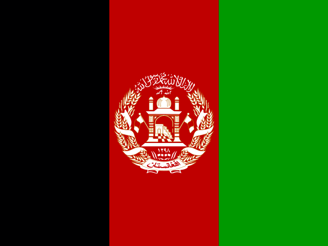 AfghanistanKabul
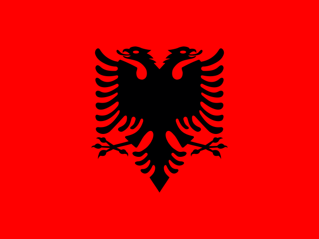 AlbaniaTirana
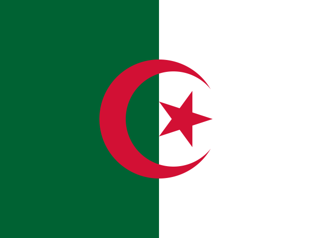 AlgeriaAlgiers
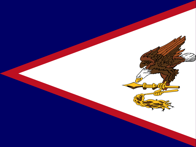 American SamoaPago Pago
 AndorraAndorra la Vella
 AngolaLuanda
 AnguillaThe Valley
 AntarcticaAntarctic
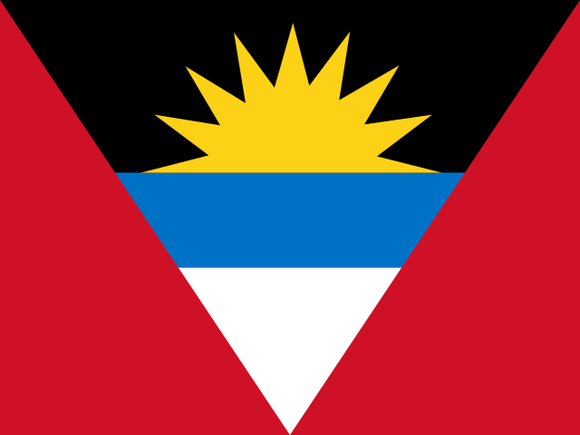 Antigua and BarbudaSaint John's
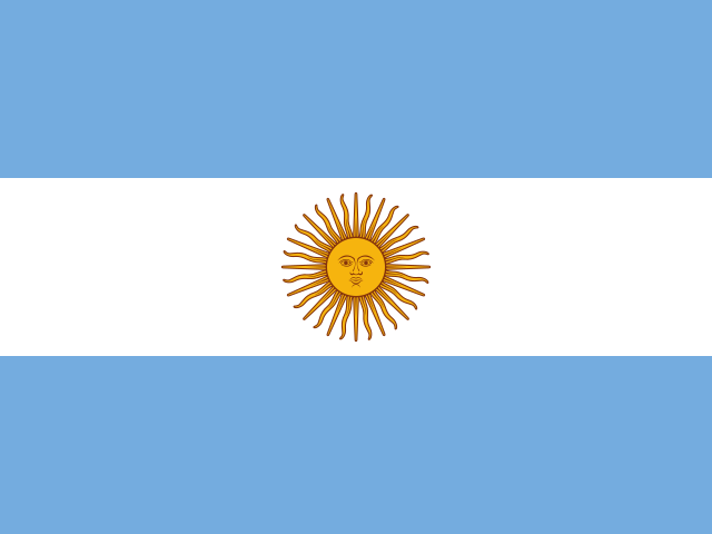 ArgentinaBuenos Aires
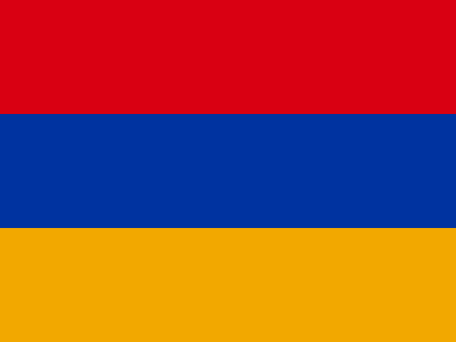 ArmeniaYerevan
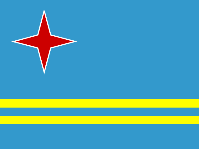 ArubaOranjestad
 AustraliaCanberra
 AustriaVienna
 AzerbaijanBaku
 BahamasNassau
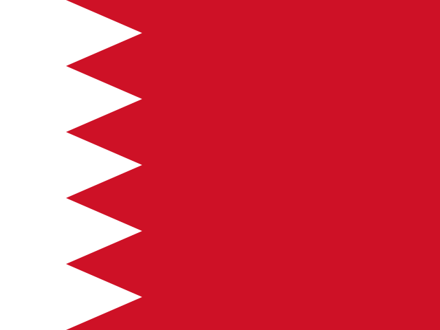 BahrainManama
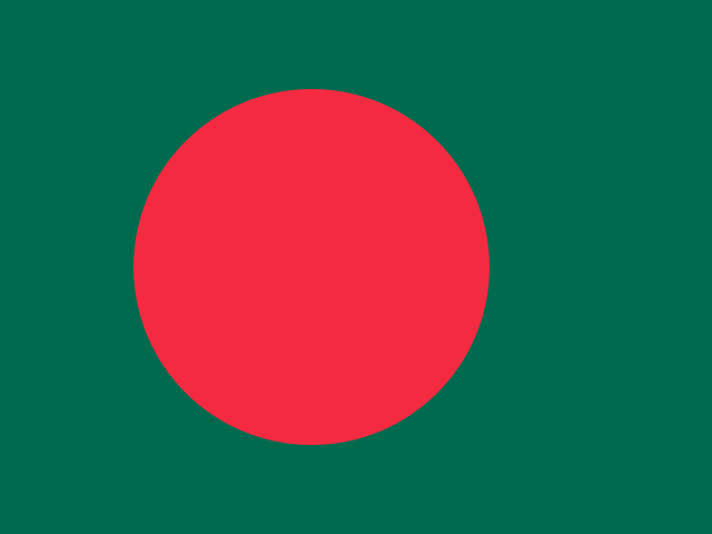 BangladeshDhaka
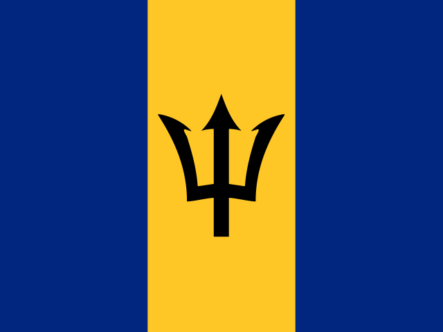 BarbadosBridgetown
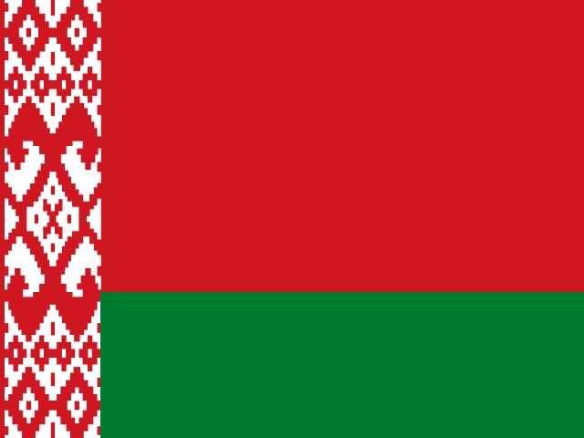 BelarusMinsk
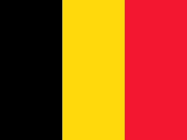 BelgiumBrussels
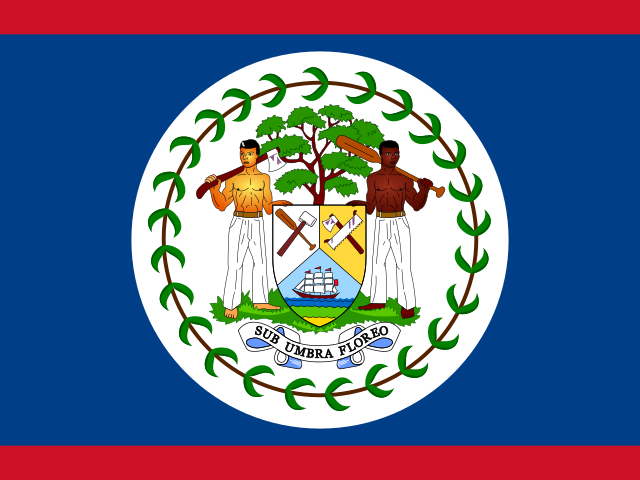 BelizeBelmopan
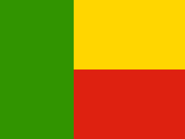 BeninPorto-Novo
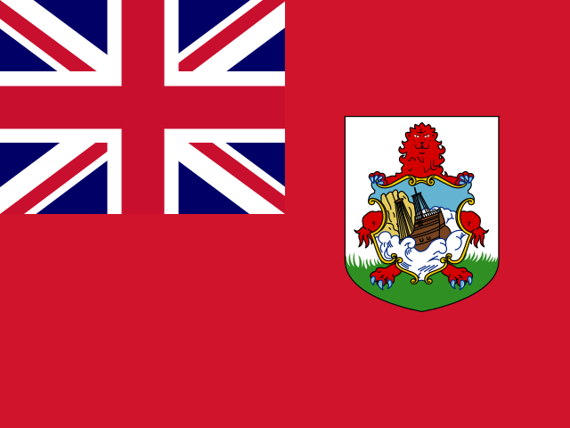 BermudaHamilton
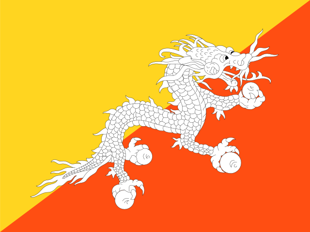 BhutanThimphu
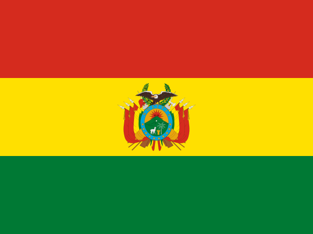 BoliviaSucre
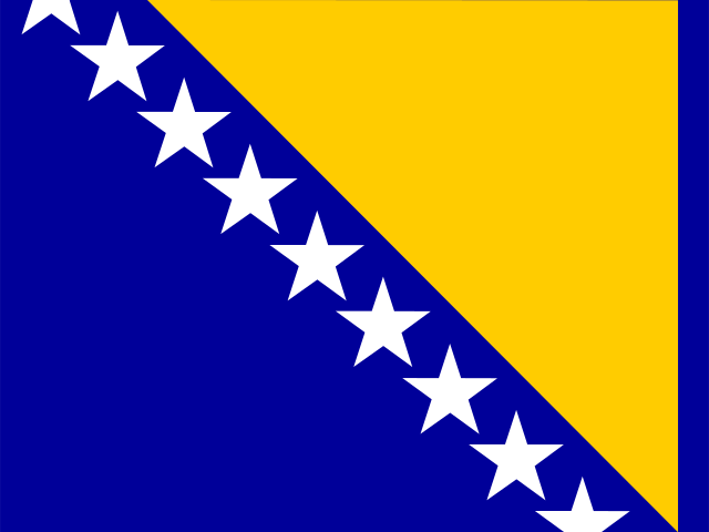 Bosnia and HerzegovinaSarajevo
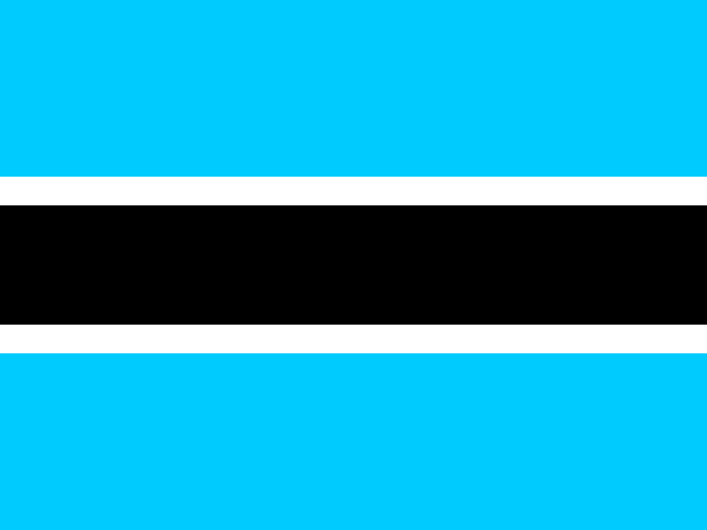 BotswanaGaborone
 Bouvet IslandAntarctic
 BrazilBrasília
 British Indian Ocean TerritoryDiego Garcia
 British Virgin IslandsRoad Town
 BruneiBandar Seri Begawan
 BulgariaSofia
 Burkina FasoOuagadougou
 BurundiGitega
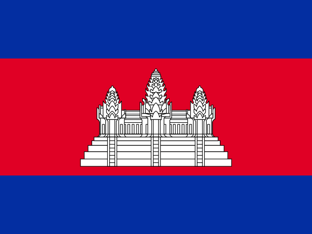 CambodiaPhnom Penh
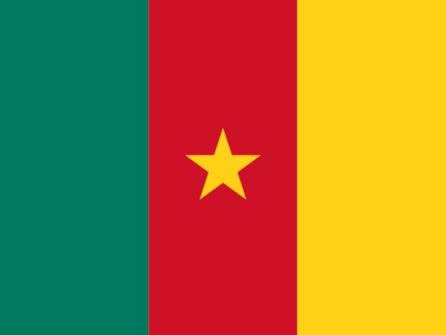 CameroonYaoundé
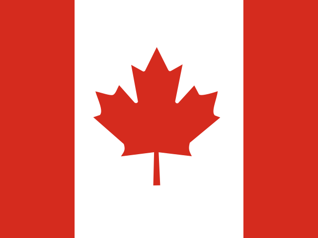 CanadaOttawa
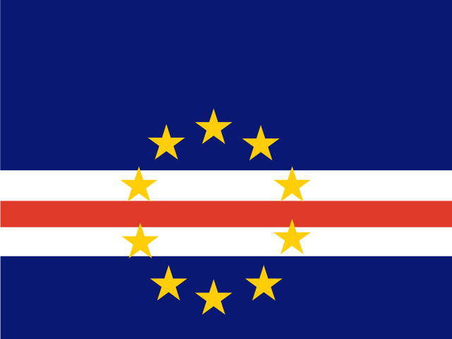 Cape VerdePraia
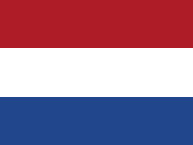 Caribbean NetherlandsKralendijk
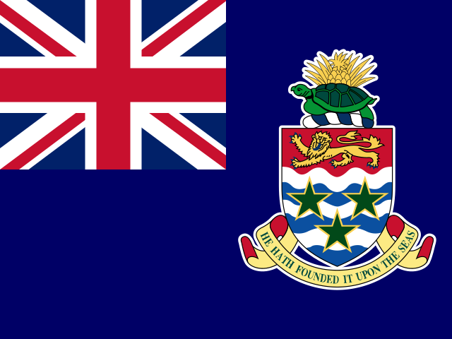 Cayman IslandsGeorge Town
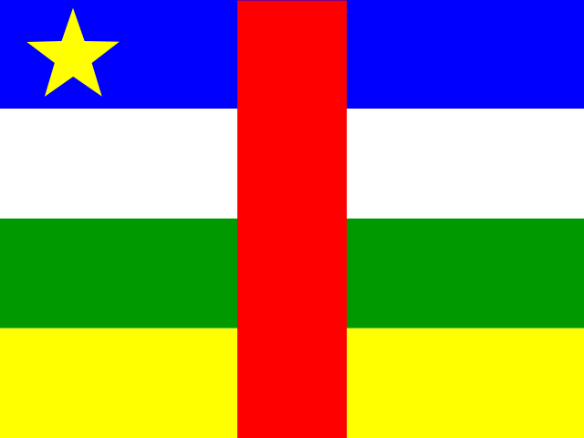 Central African RepublicBangui
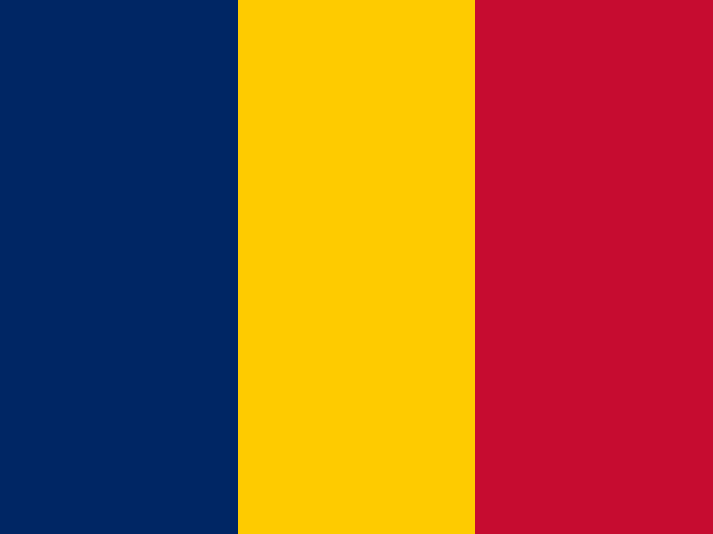 ChadN'Djamena
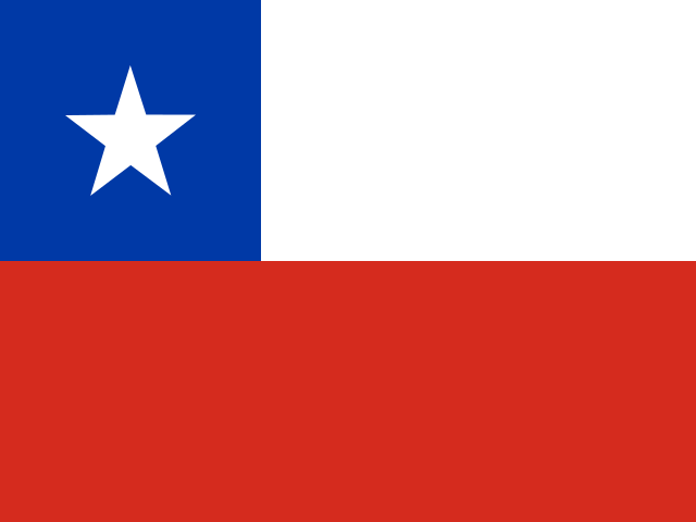 ChileSantiago
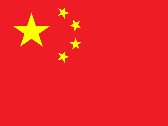 ChinaBeijing
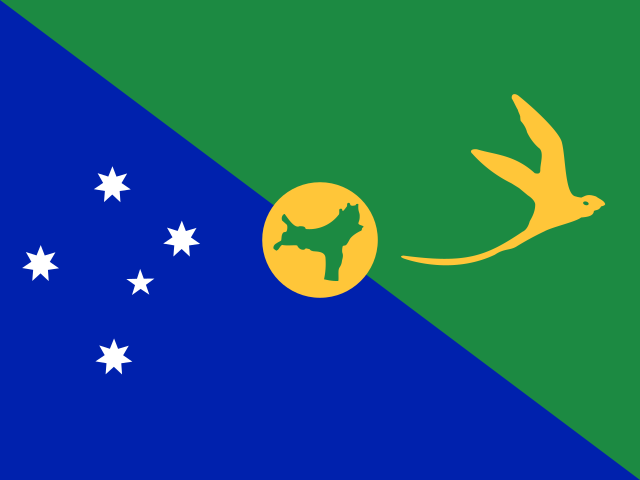 Christmas IslandFlying Fish Cove
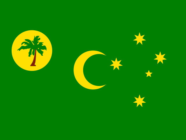 Cocos (Keeling) IslandsWest Island
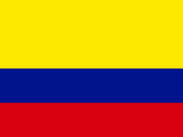 ColombiaBogotá
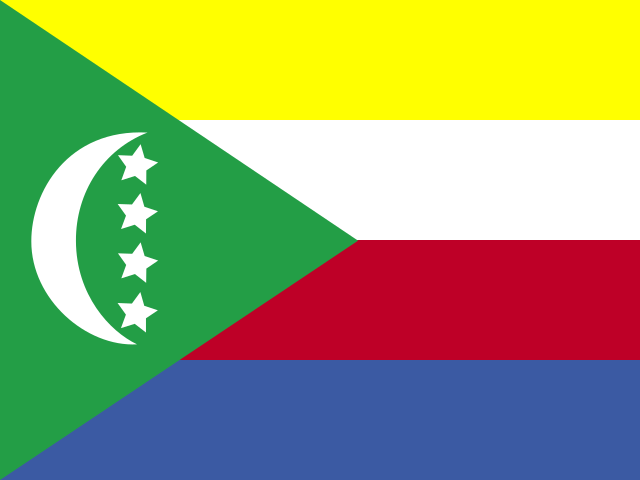 ComorosMoroni
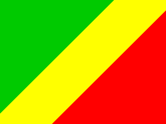 CongoBrazzaville
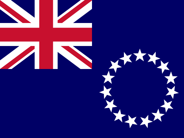 Cook IslandsAvarua
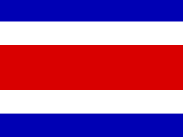 Costa RicaSan José
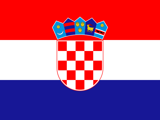 CroatiaZagreb
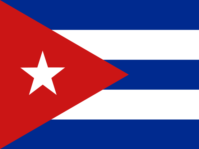 CubaHavana
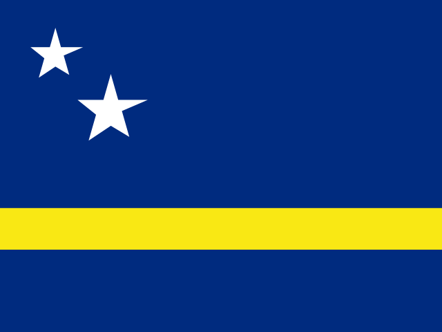 CuraçaoWillemstad
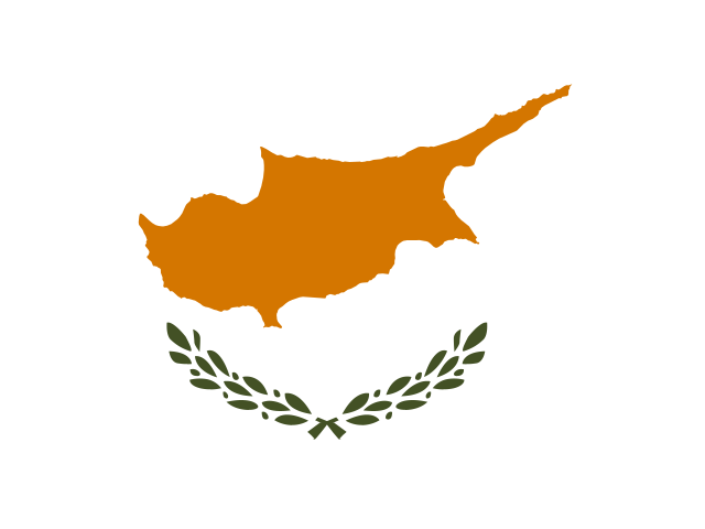 CyprusNicosia
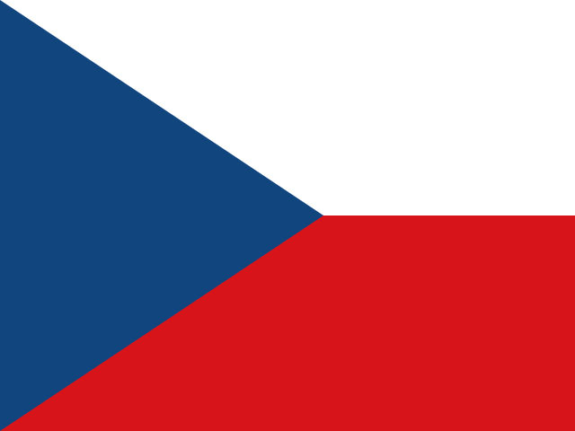 CzechiaPrague
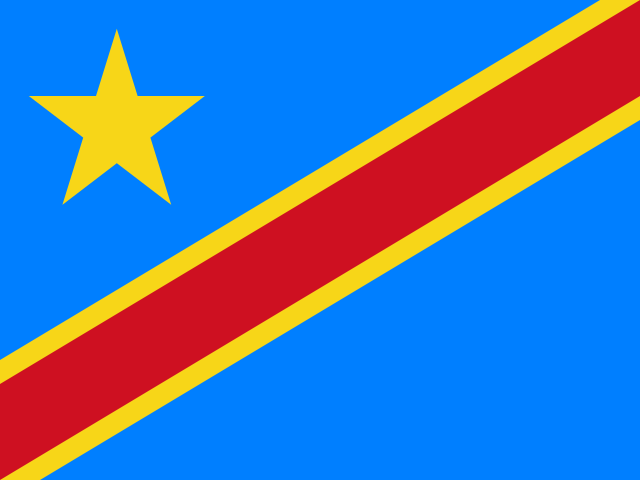 DR CongoKinshasa
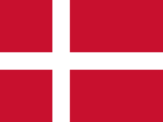 DenmarkCopenhagen
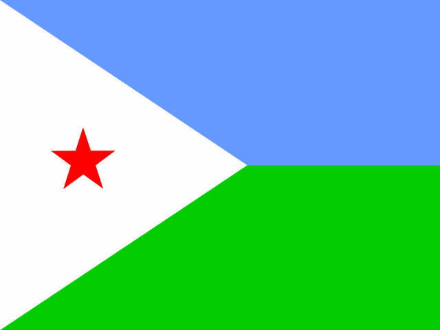 DjiboutiDjibouti
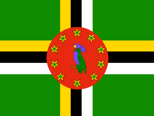 DominicaRoseau
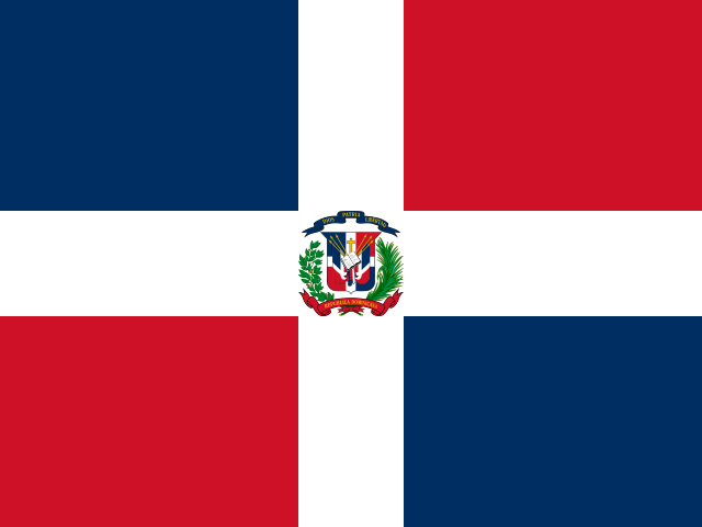 Dominican RepublicSanto Domingo
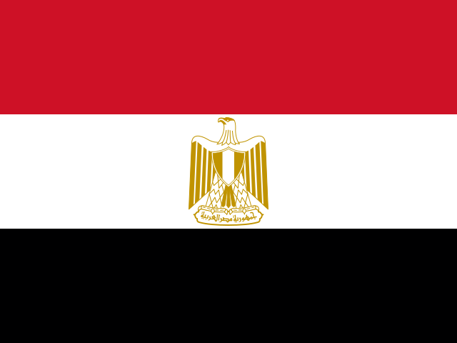 EgyptCairo
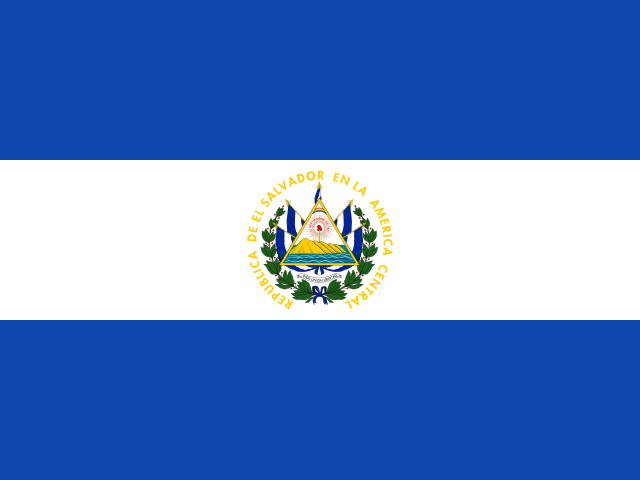 El SalvadorSan Salvador
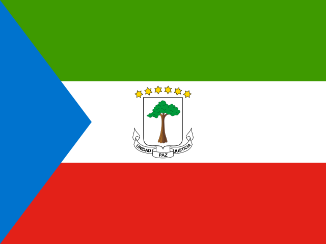 Equatorial GuineaMalabo
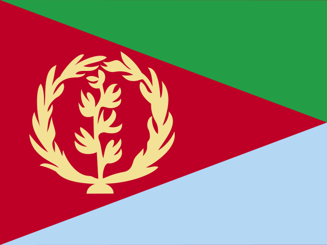 EritreaAsmara
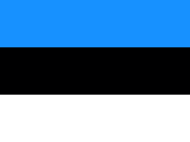 EstoniaTallinn
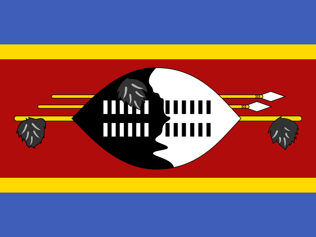 EswatiniLobamba
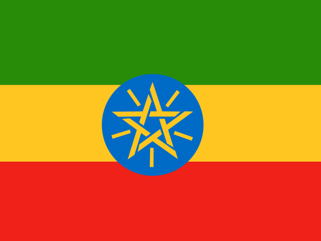 EthiopiaAddis Ababa
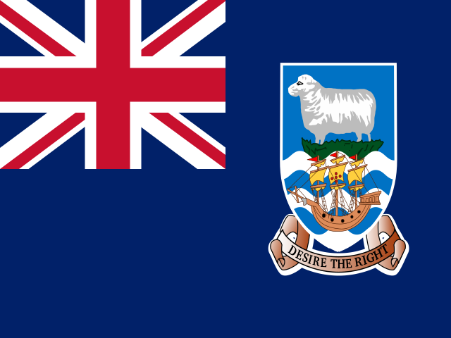 Falkland IslandsStanley
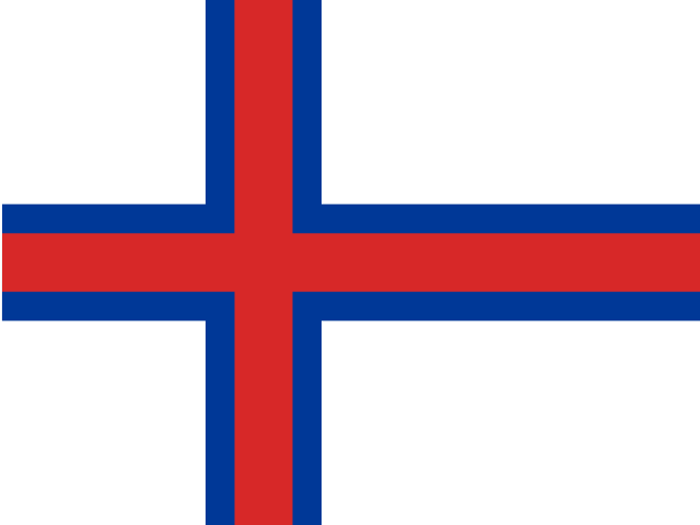 Faroe IslandsTórshavn
 FijiSuva
 FinlandHelsinki
 FranceParis
 French GuianaCayenne
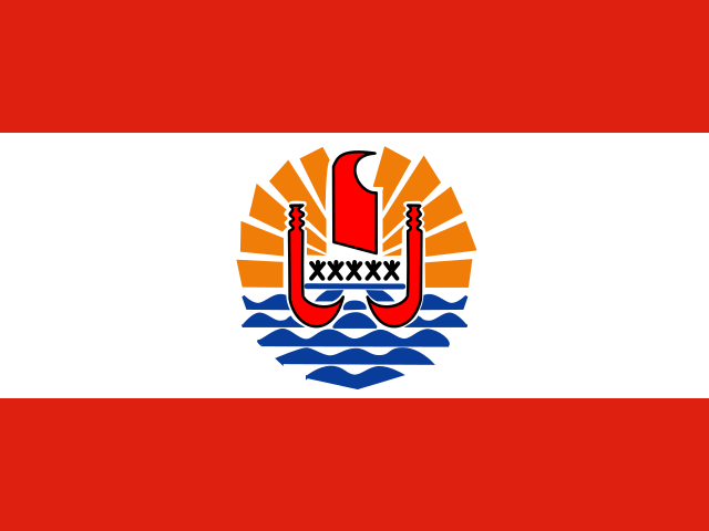 French PolynesiaPapeetē
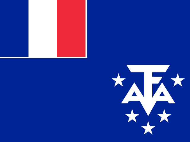 French Southern and Antarctic LandsPort-aux-Français
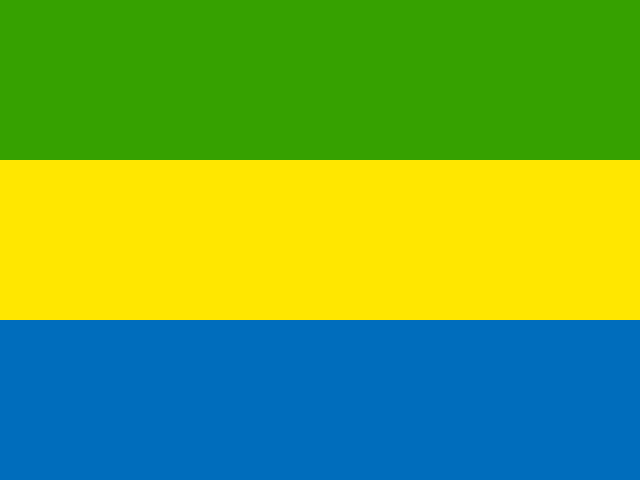 GabonLibreville
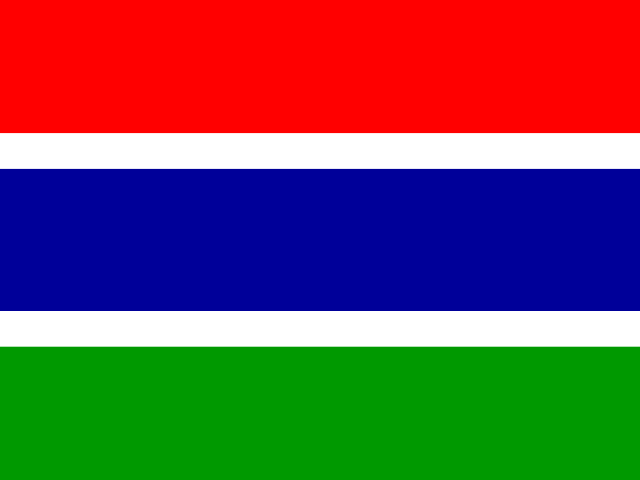 GambiaBanjul
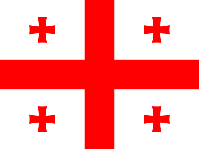 GeorgiaTbilisi
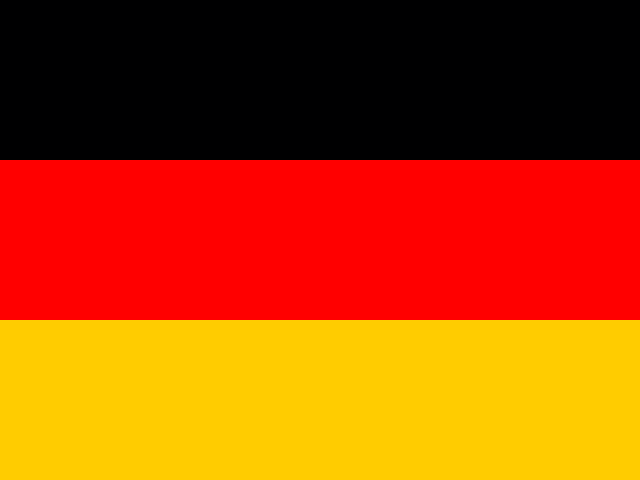 GermanyBerlin
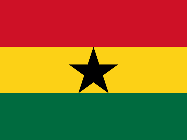 GhanaAccra
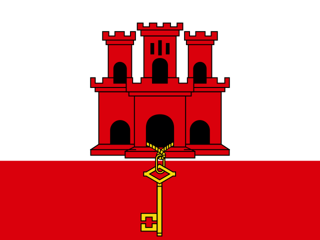 GibraltarGibraltar
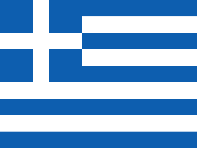 GreeceAthens
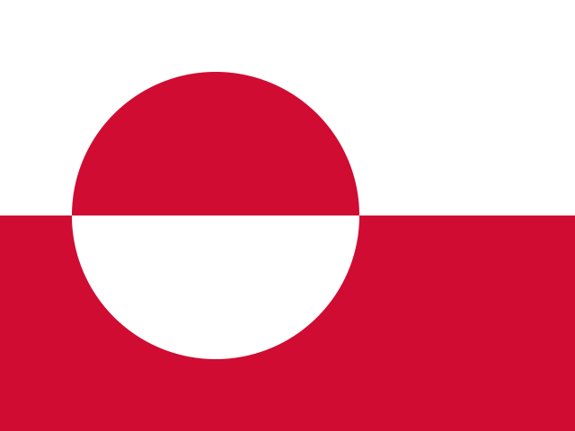 GreenlandNuuk
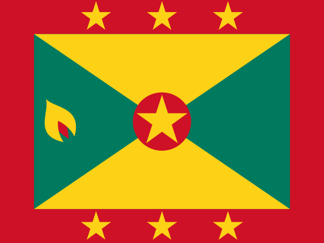 GrenadaSt. George's
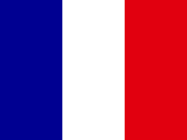 GuadeloupeBasse-Terre
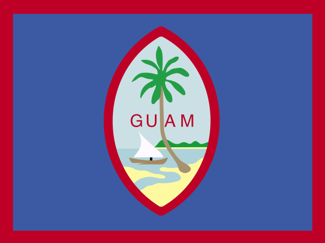 GuamHagåtña
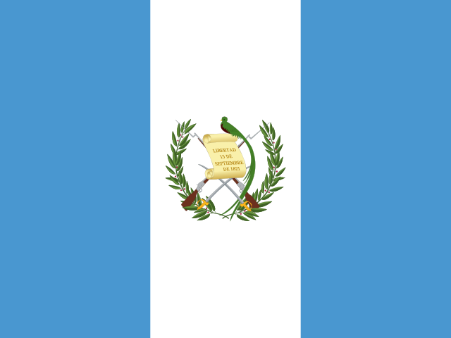 GuatemalaGuatemala City
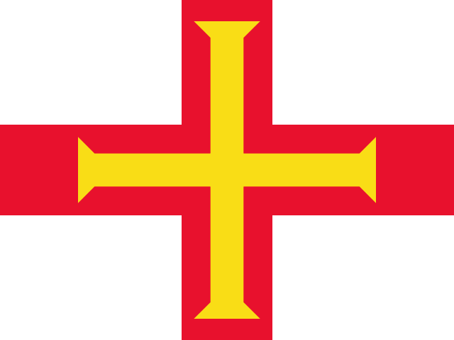 GuernseySt. Peter Port
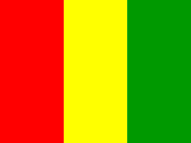 GuineaConakry
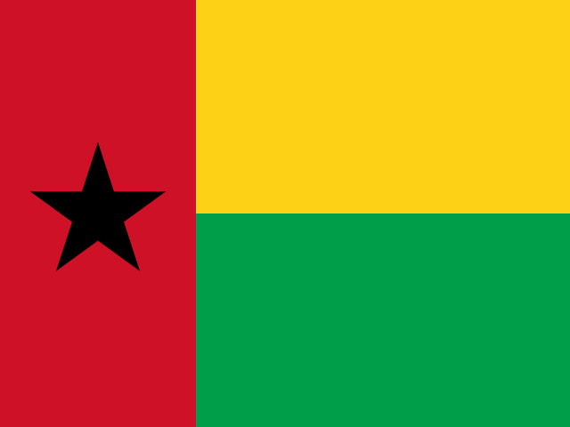 Guinea-BissauBissau
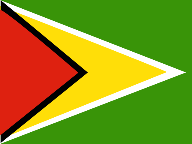 GuyanaGeorgetown
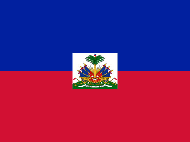 HaitiPort-au-Prince
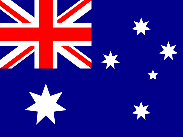 Heard Island and McDonald IslandsAntarctic
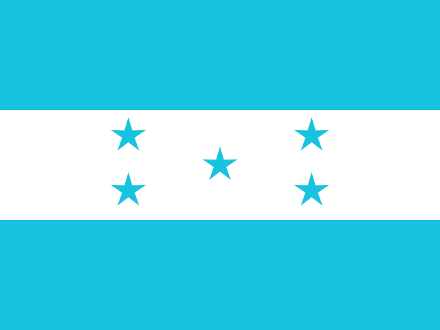 HondurasTegucigalpa
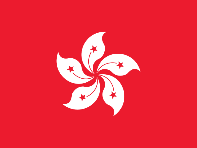 Hong KongCity of Victoria
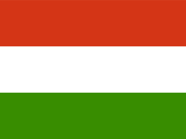 HungaryBudapest
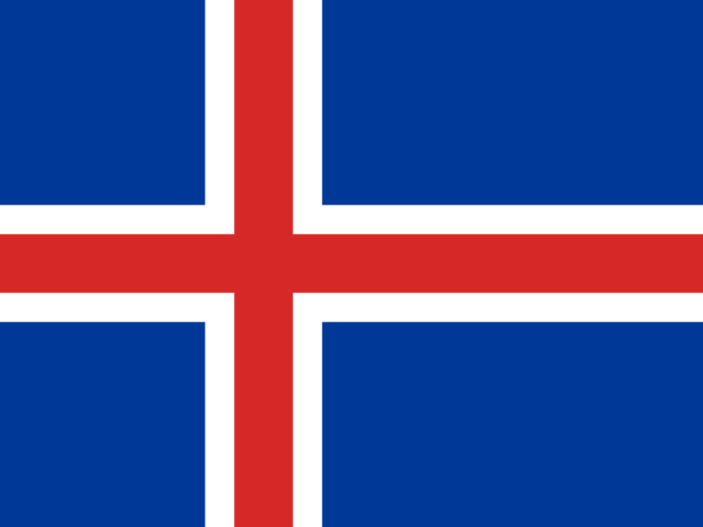 IcelandReykjavik
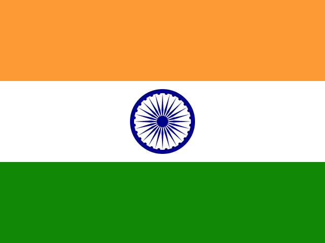 IndiaNew Delhi
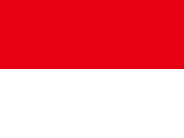 IndonesiaJakarta
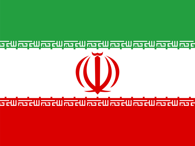 IranTehran
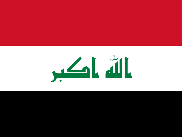 IraqBaghdad
 IrelandDublin
 Isle of ManDouglas
 IsraelJerusalem
 ItalyRome
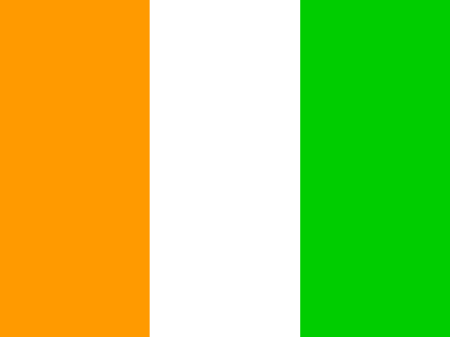 Ivory CoastYamoussoukro
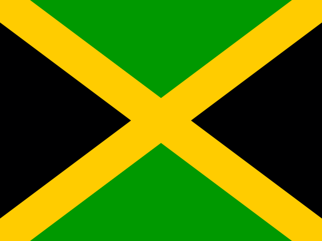 JamaicaKingston
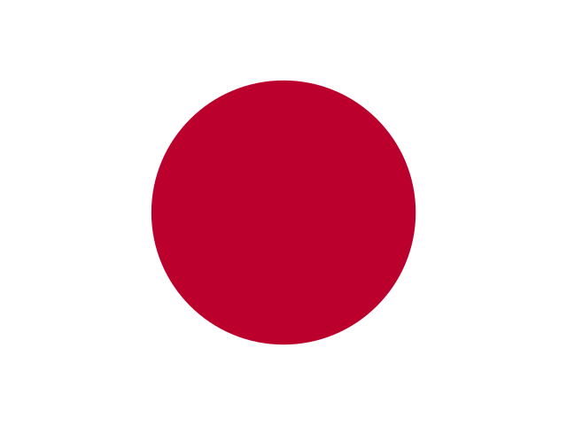 JapanTokyo
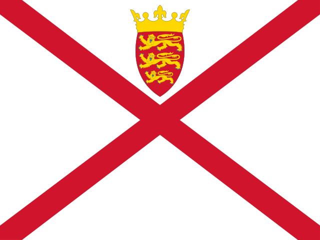 JerseySaint Helier
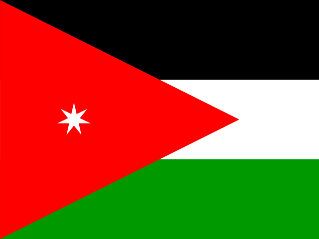 JordanAmman
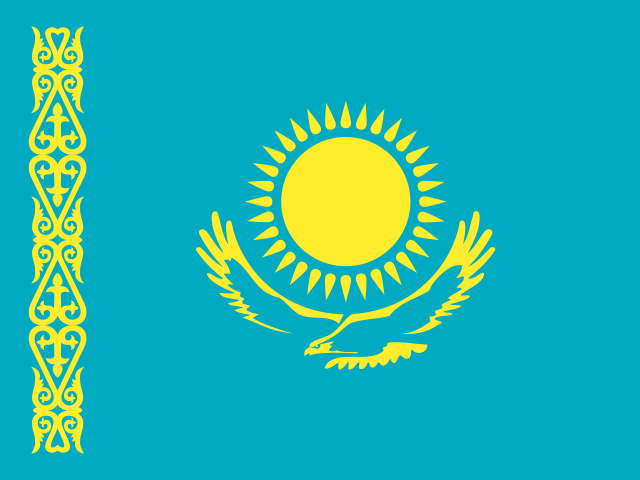 KazakhstanAstana
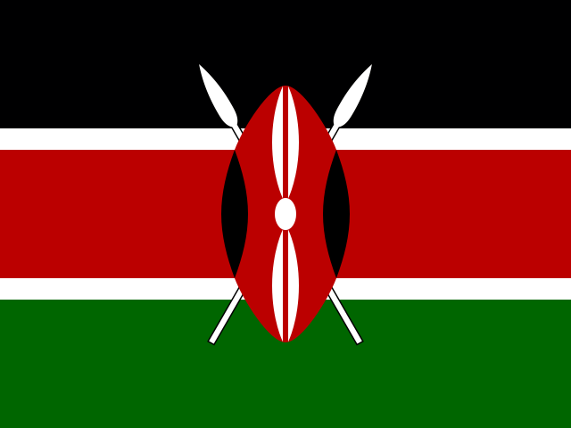 KenyaNairobi
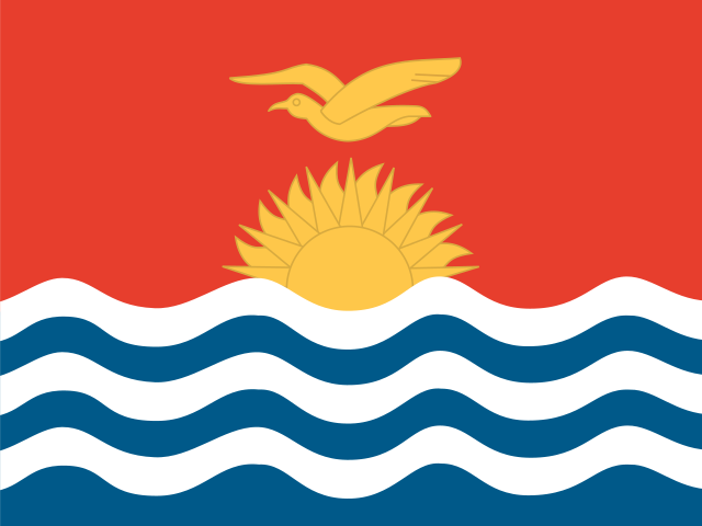 KiribatiSouth Tarawa
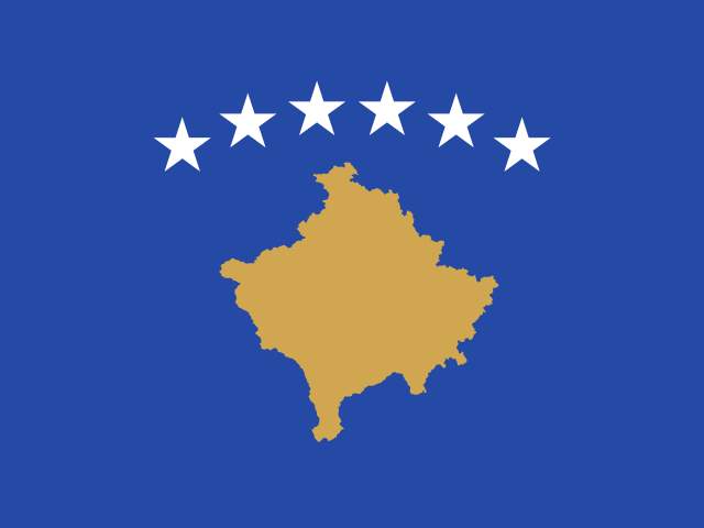 KosovoPristina
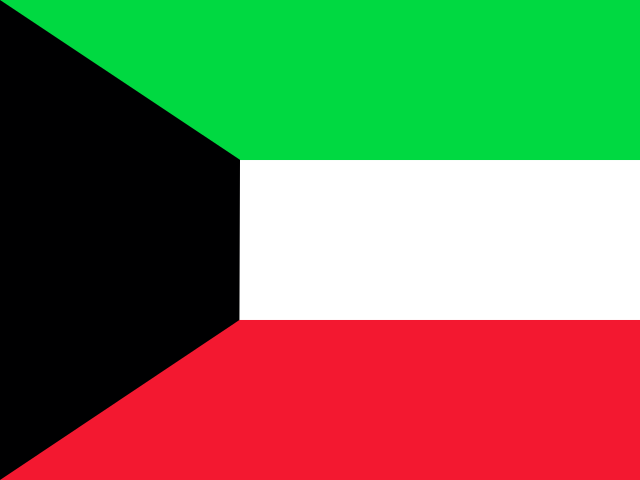 KuwaitKuwait City
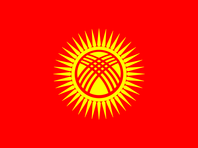 KyrgyzstanBishkek
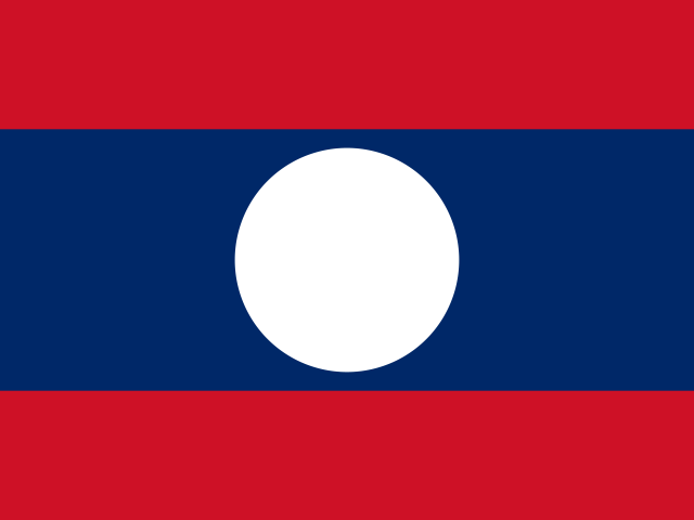 LaosVientiane
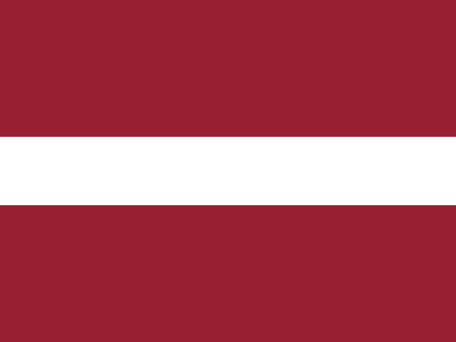 LatviaRiga
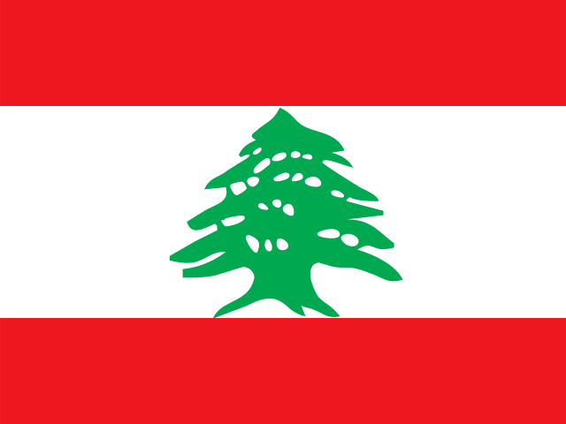 LebanonBeirut
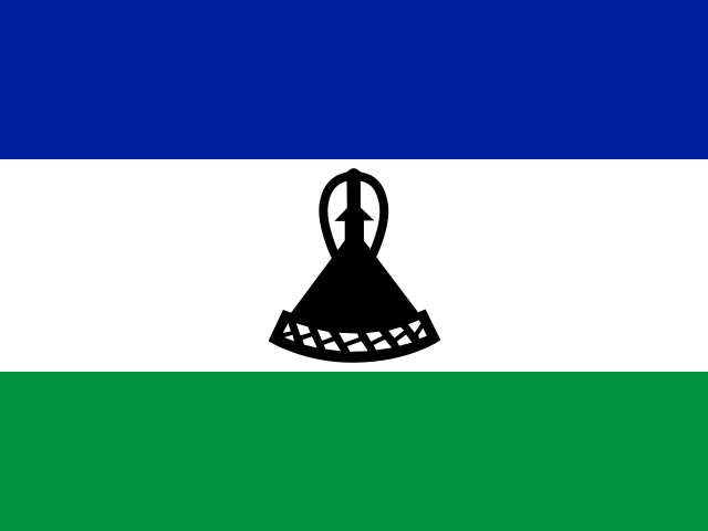 LesothoMaseru
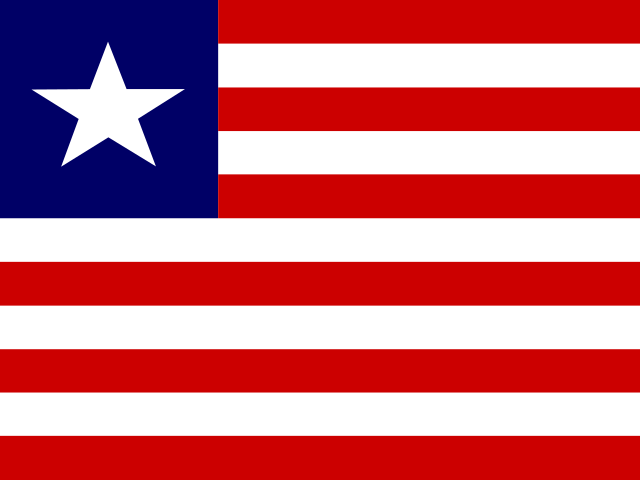 LiberiaMonrovia
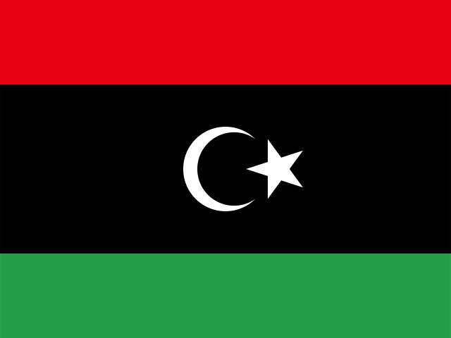 LibyaTripoli
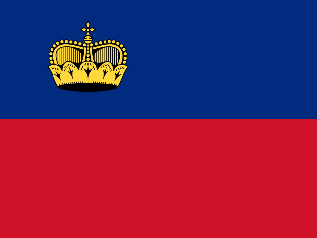 LiechtensteinVaduz
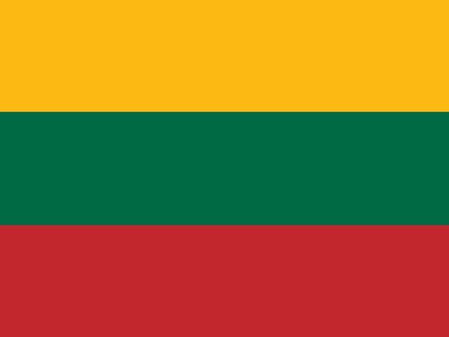 LithuaniaVilnius
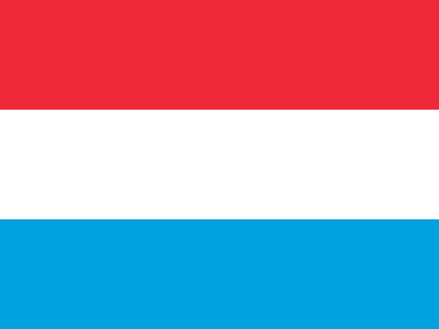 LuxembourgLuxembourg
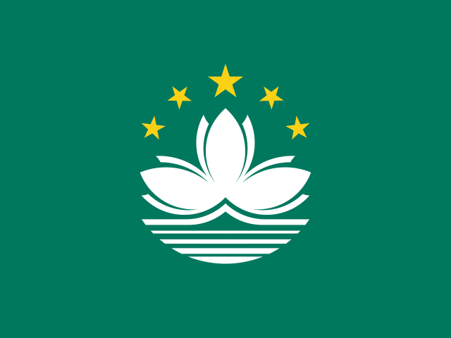 MacauAsia
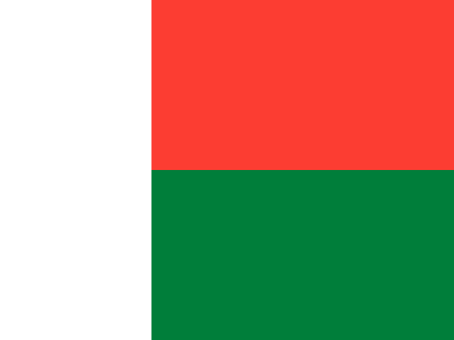 MadagascarAntananarivo
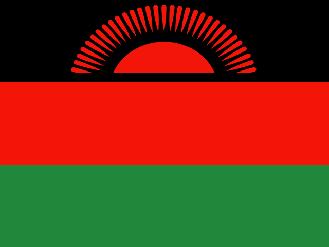 MalawiLilongwe
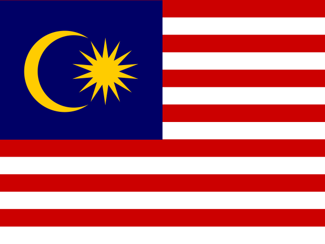 MalaysiaKuala Lumpur
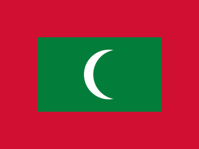 MaldivesMalé
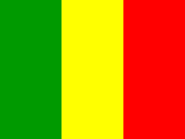 MaliBamako
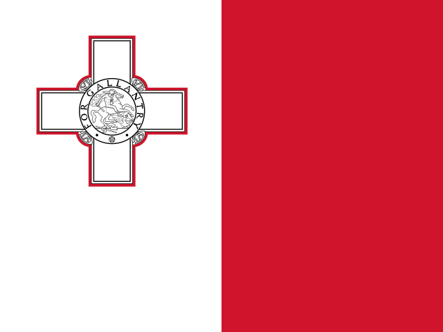 MaltaValletta
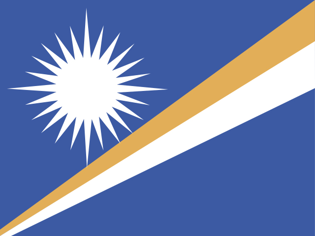 Marshall IslandsMajuro
 MartiniqueFort-de-France
 MauritaniaNouakchott
 MauritiusPort Louis
 MayotteMamoudzou
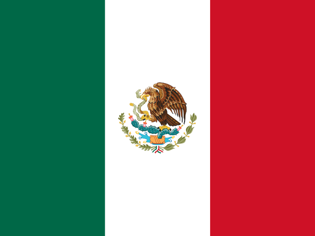 MexicoMexico City
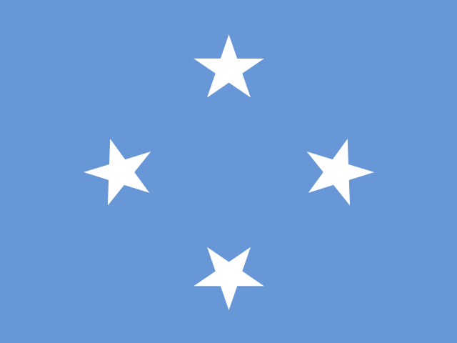 MicronesiaPalikir
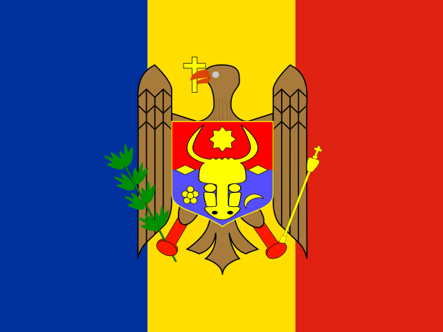 MoldovaChișinău
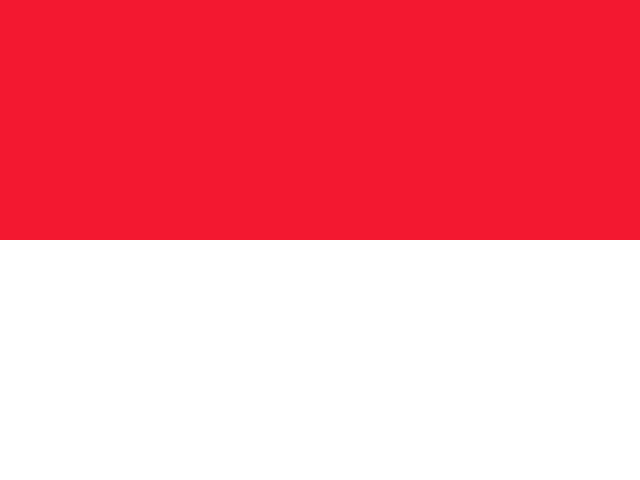 MonacoMonaco
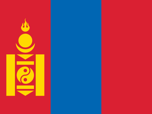 MongoliaUlan Bator
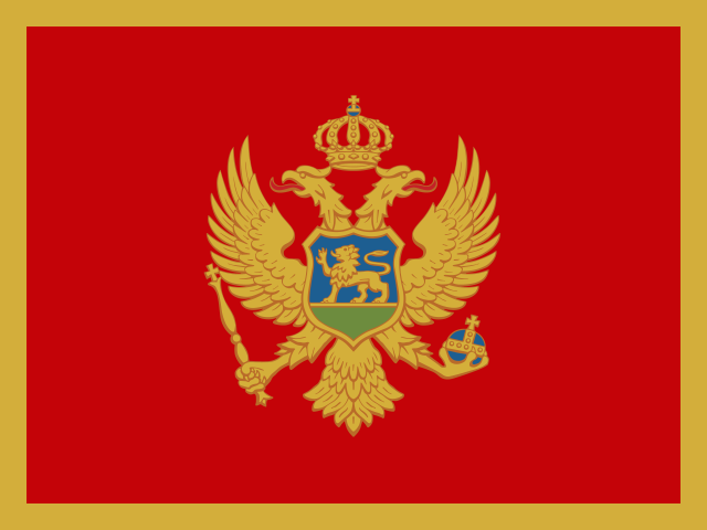 MontenegroPodgorica
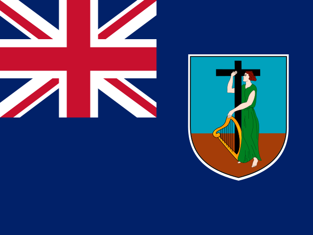 MontserratPlymouth
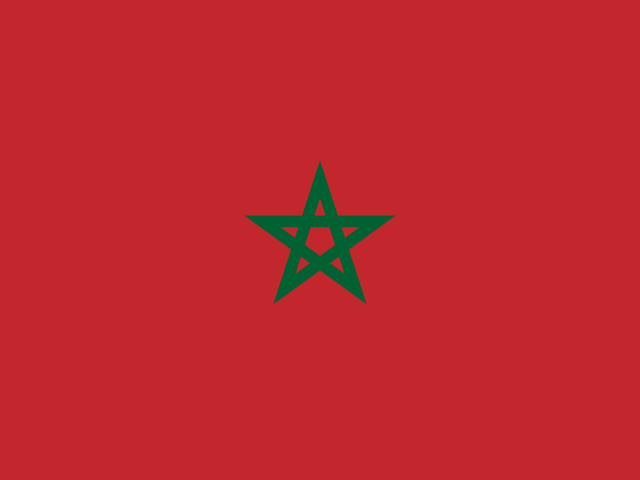 MoroccoRabat
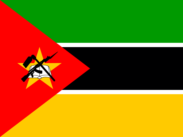 MozambiqueMaputo
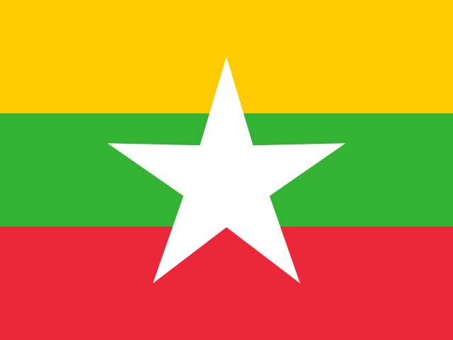 MyanmarNaypyidaw
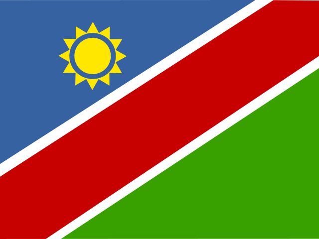 NamibiaWindhoek
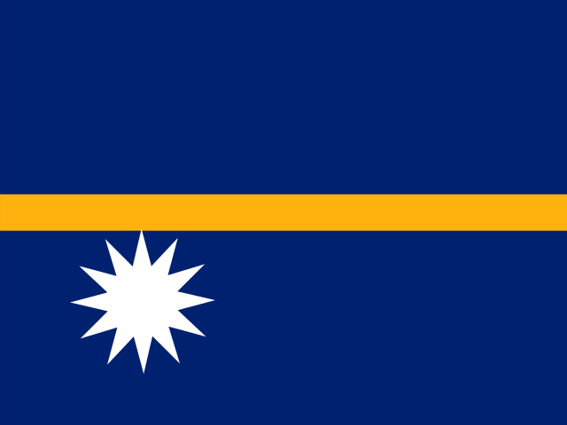 NauruYaren
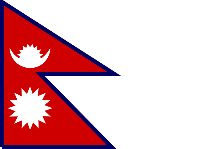 NepalKathmandu
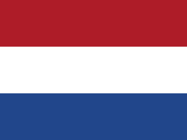 NetherlandsAmsterdam
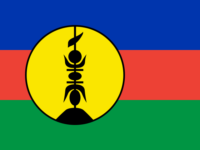 New CaledoniaNouméa
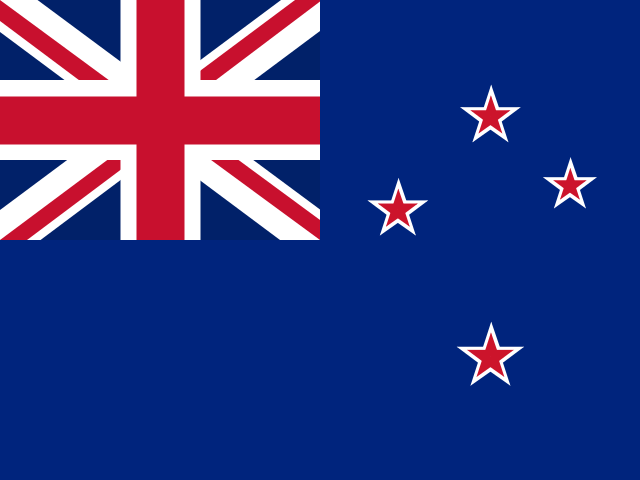 New ZealandWellington
 NicaraguaManagua
 NigerNiamey
 NigeriaAbuja
 NiueAlofi
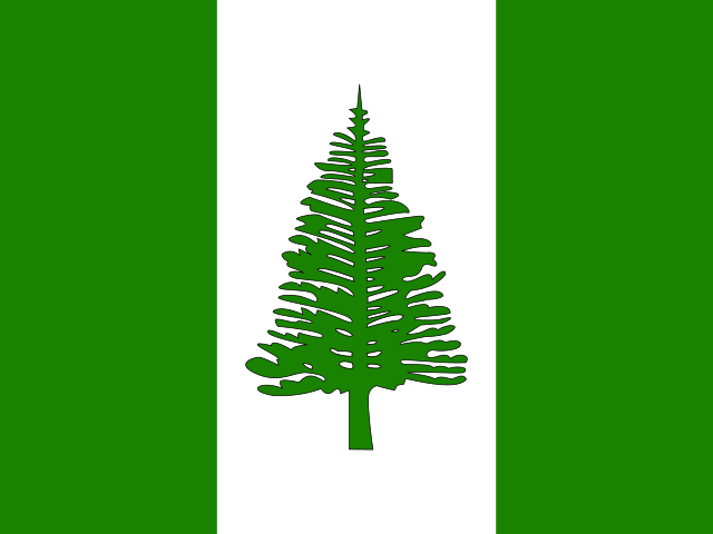 Norfolk IslandKingston
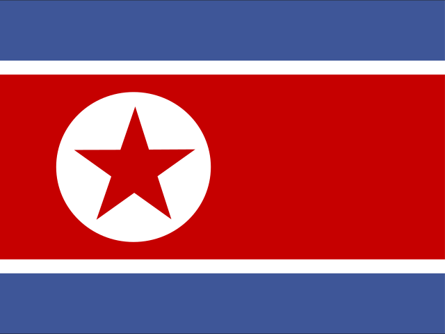 North KoreaPyongyang
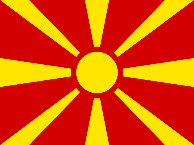 North MacedoniaSkopje
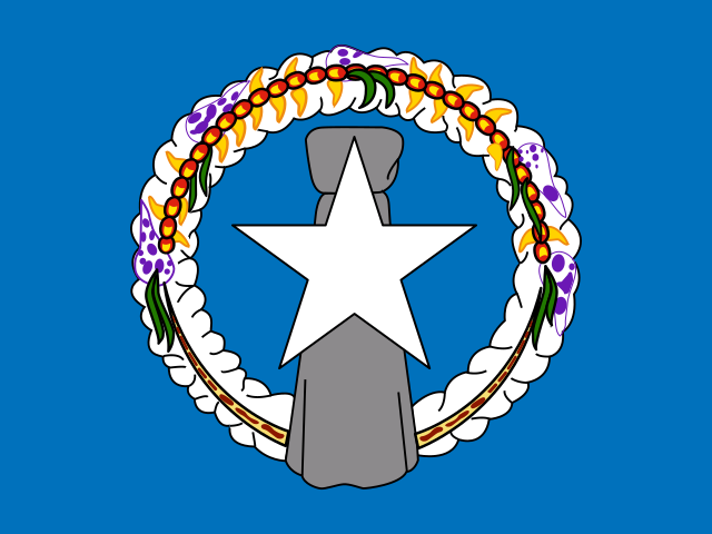 Northern Mariana IslandsSaipan
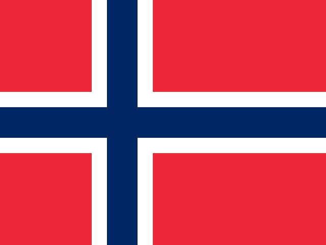 NorwayOslo
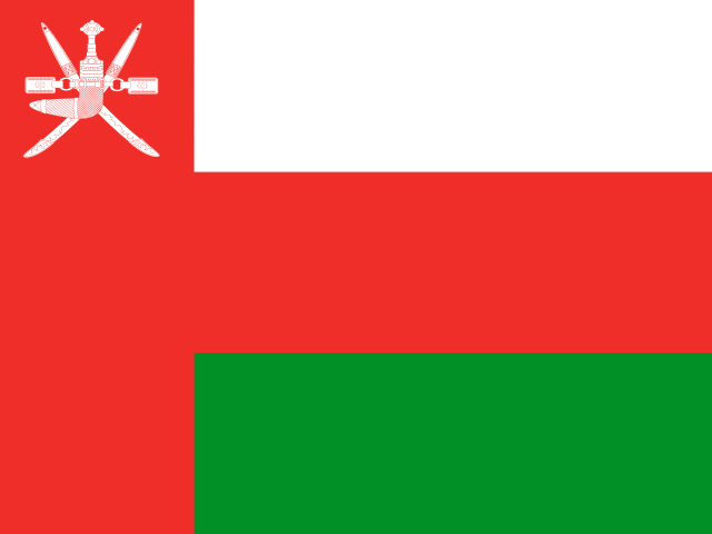 OmanMuscat
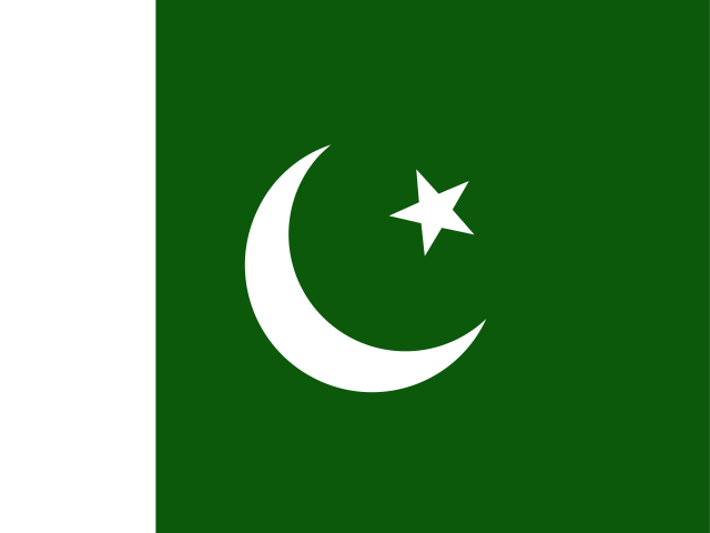 PakistanIslamabad
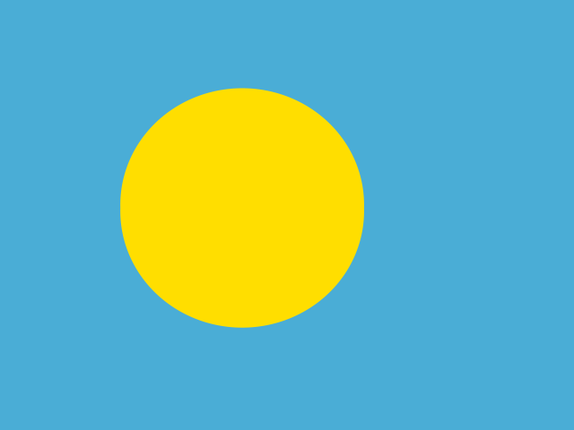 PalauNgerulmud
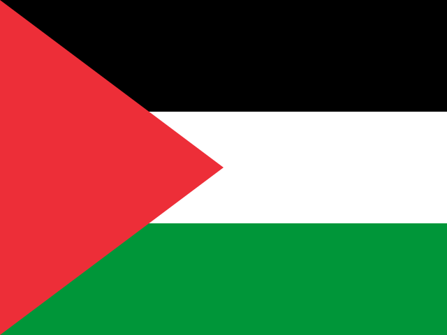 PalestineRamallah
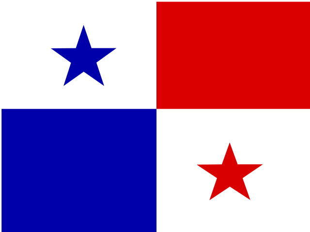 PanamaPanama City
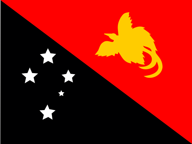 Papua New GuineaPort Moresby
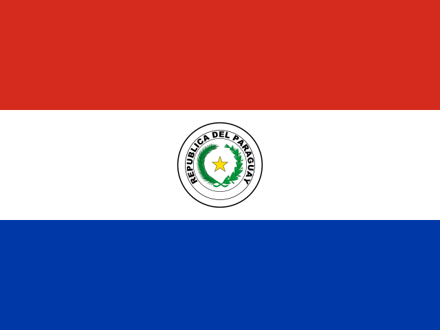 ParaguayAsunción
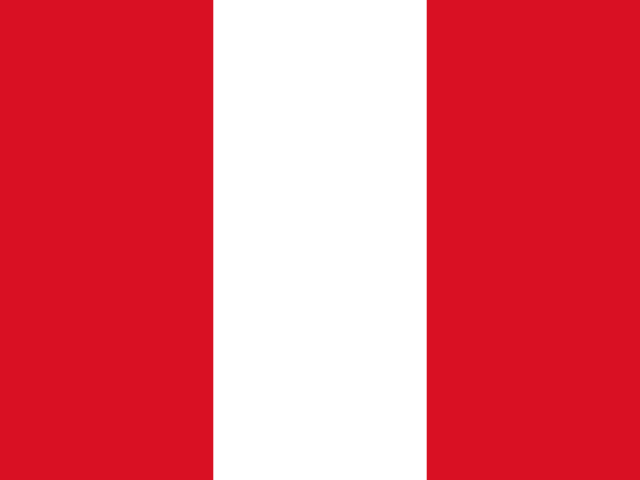 PeruLima
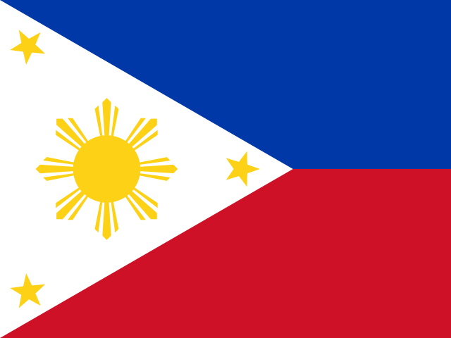 PhilippinesManila
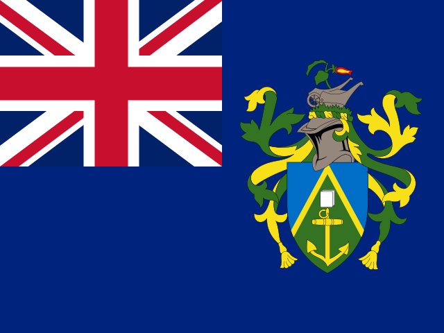 Pitcairn IslandsAdamstown
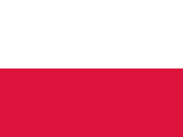 PolandWarsaw
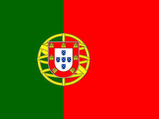 PortugalLisbon
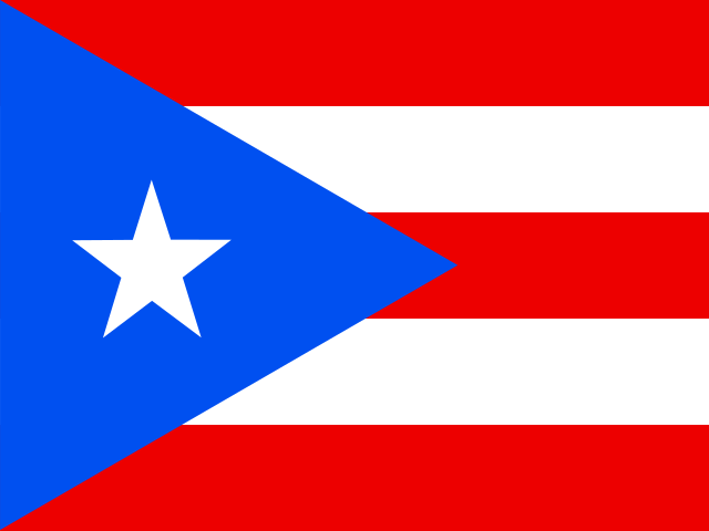 Puerto RicoSan Juan
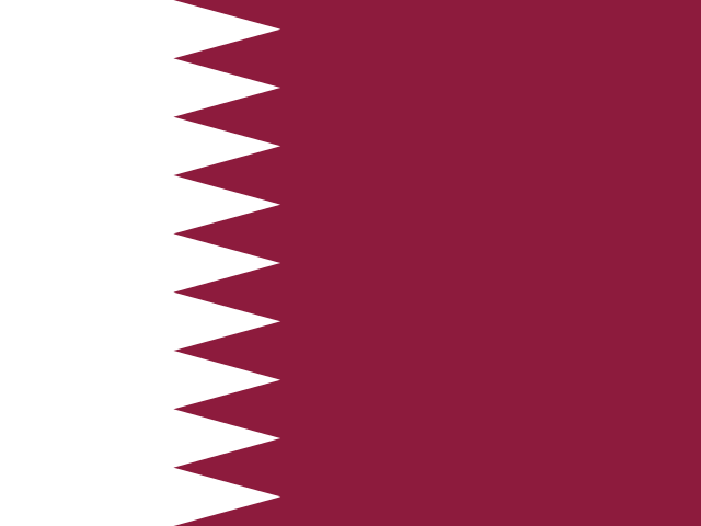 QatarDoha
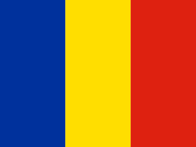 RomaniaBucharest
 RussiaMoscow
 RwandaKigali
 RéunionSaint-Denis
 Saint BarthélemyGustavia
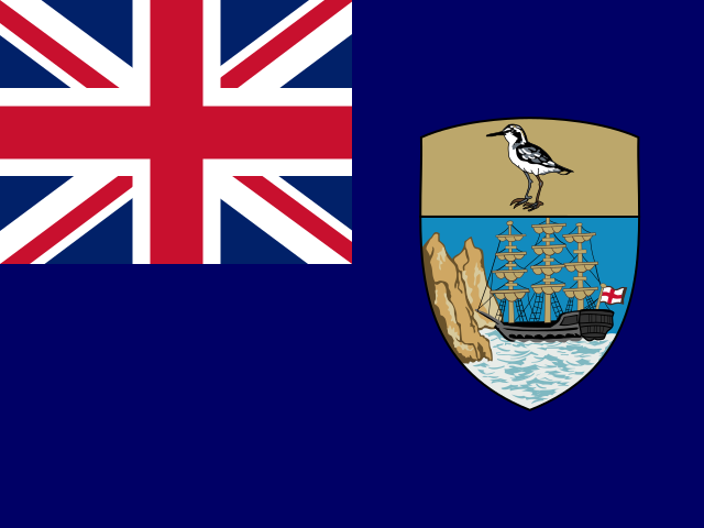 Saint Helena, Ascension and Tristan da CunhaJamestown
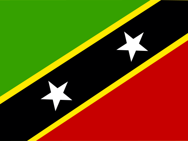 Saint Kitts and NevisBasseterre
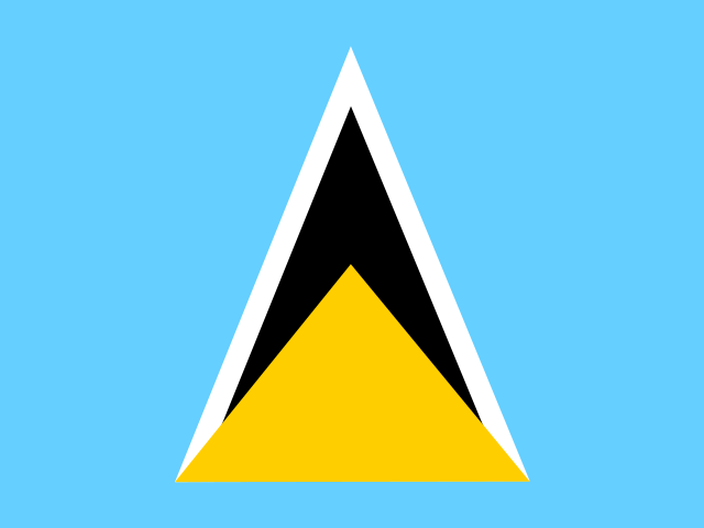 Saint LuciaCastries
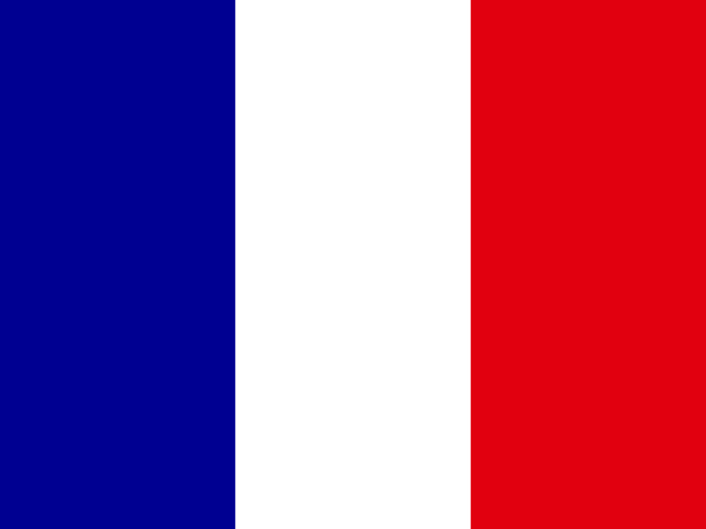 Saint MartinMarigot
 Saint Pierre and MiquelonSaint-Pierre
 Saint Vincent and the GrenadinesKingstown
 SamoaApia
 San MarinoCity of San Marino
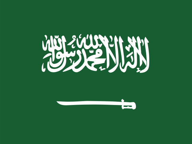 Saudi ArabiaRiyadh
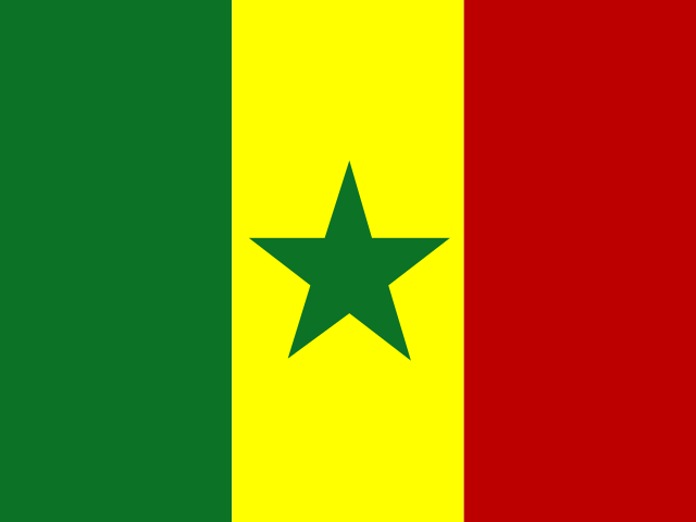 SenegalDakar
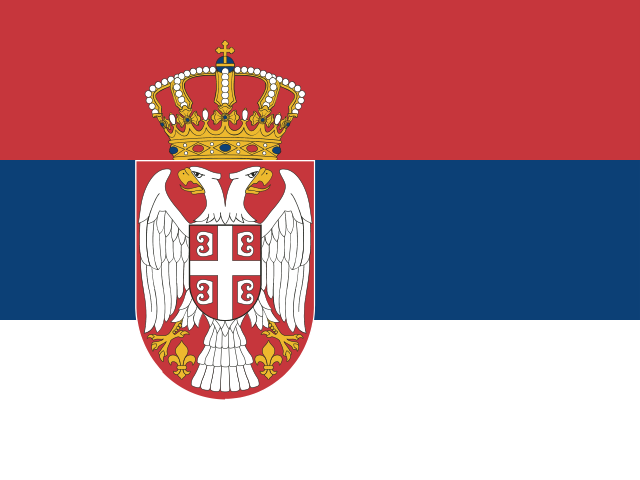 SerbiaBelgrade
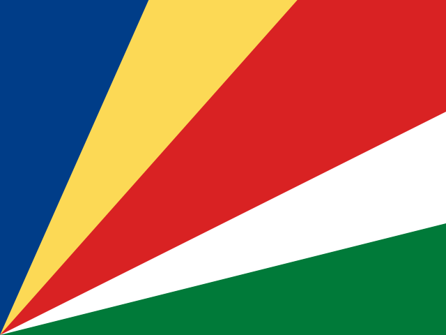 SeychellesVictoria
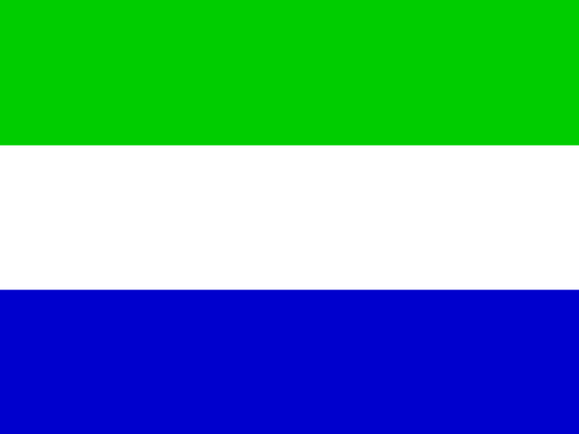 Sierra LeoneFreetown
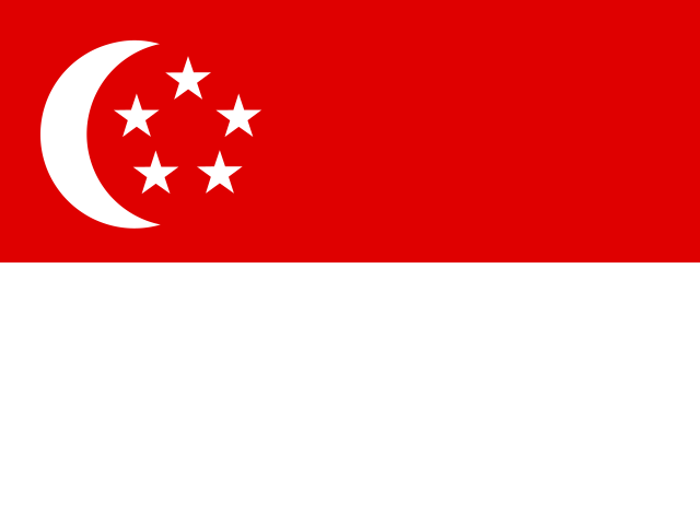 SingaporeSingapore
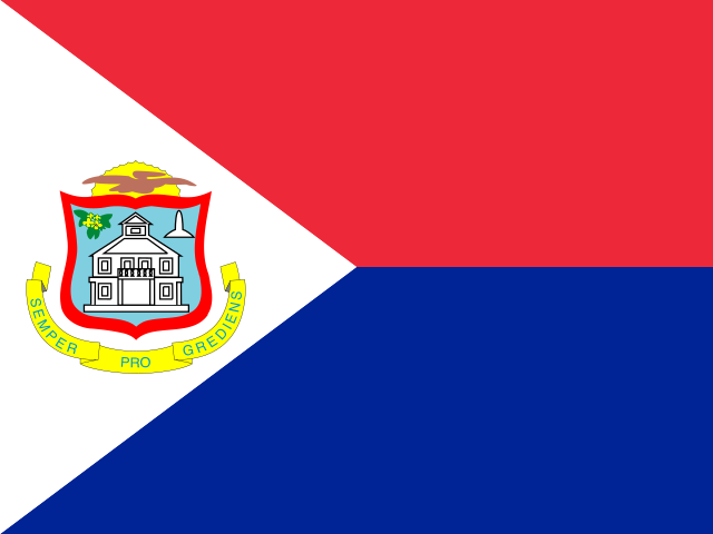 Sint MaartenPhilipsburg
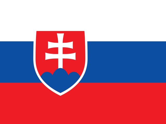 SlovakiaBratislava
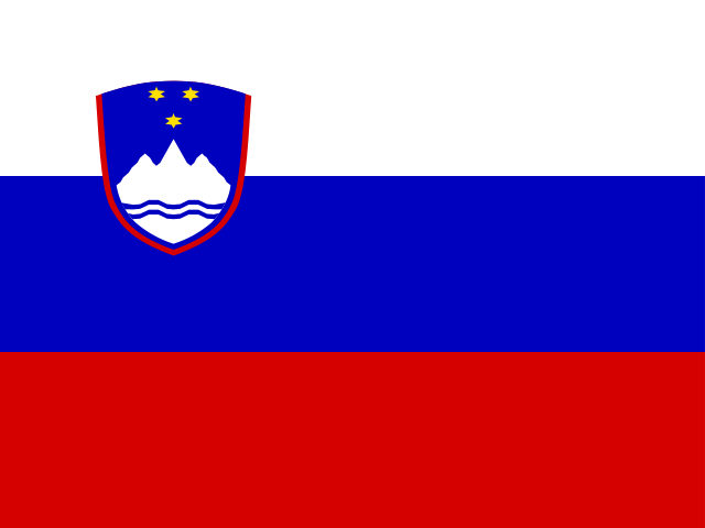 SloveniaLjubljana
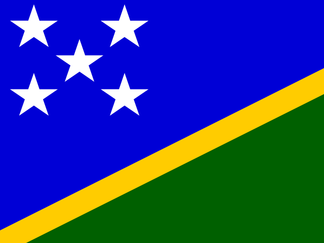 Solomon IslandsHoniara
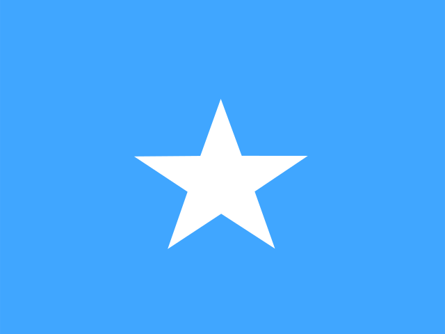 SomaliaMogadishu
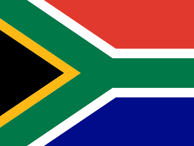 South AfricaPretoria
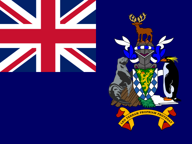 South GeorgiaKing Edward Point
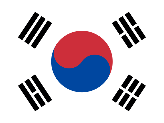 South KoreaSeoul
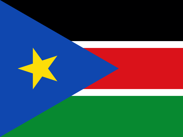 South SudanJuba
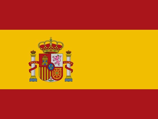 SpainMadrid
 Sri LankaColombo
 SudanKhartoum
 SurinameParamaribo
 Svalbard and Jan MayenLongyearbyen
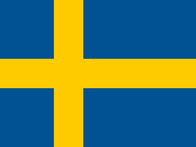 SwedenStockholm
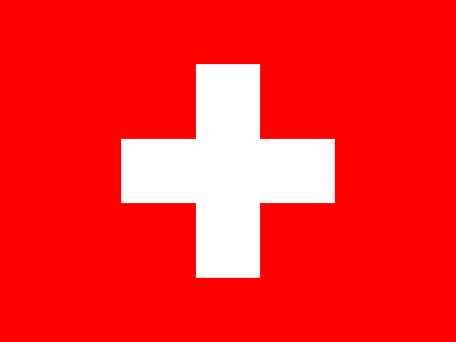 SwitzerlandBern
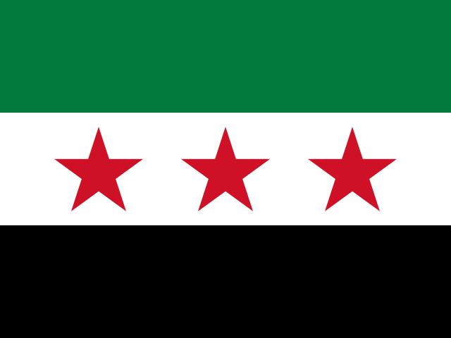 SyriaDamascus
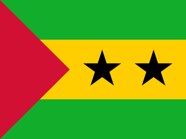 São Tomé and PríncipeSão Tomé
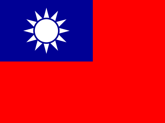 TaiwanTaipei
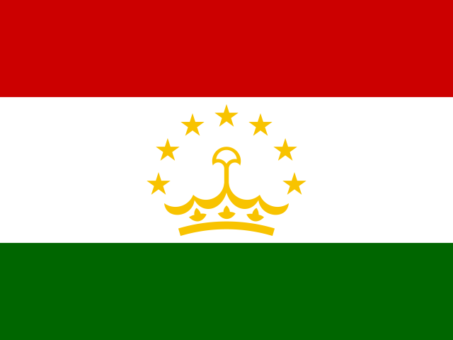 TajikistanDushanbe
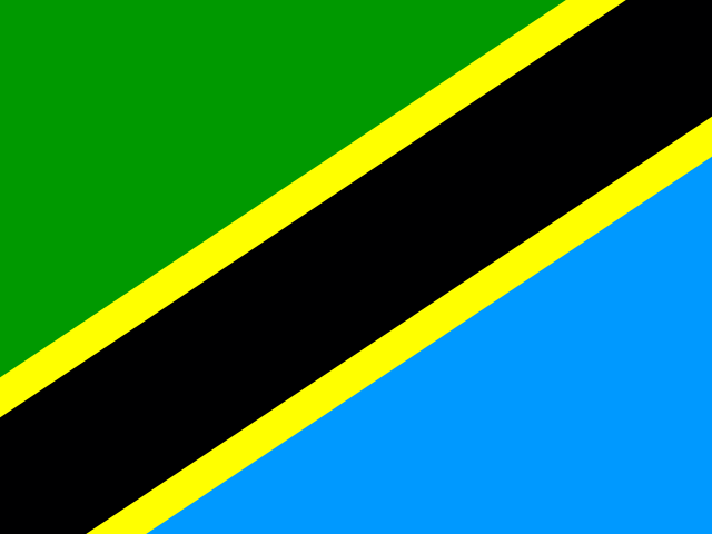 TanzaniaDodoma
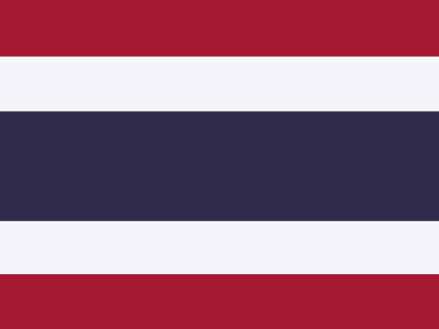 ThailandBangkok
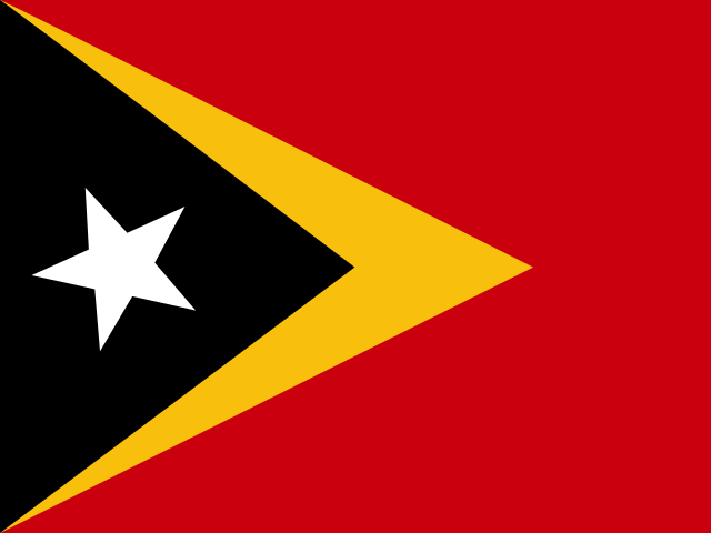 Timor-LesteDili
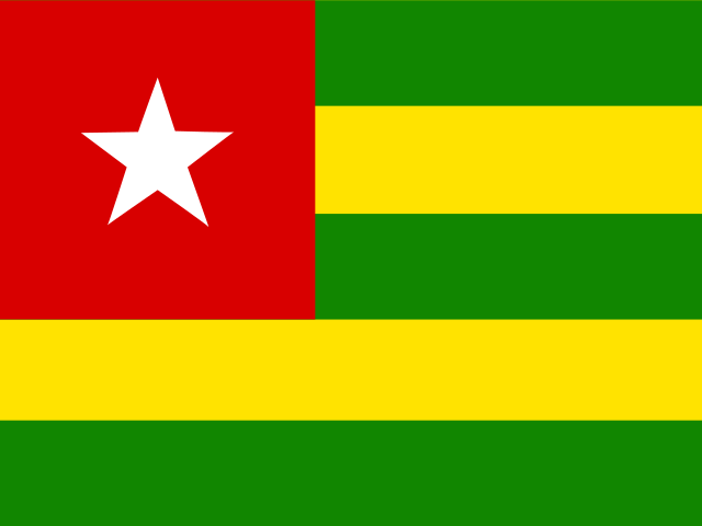 TogoLomé
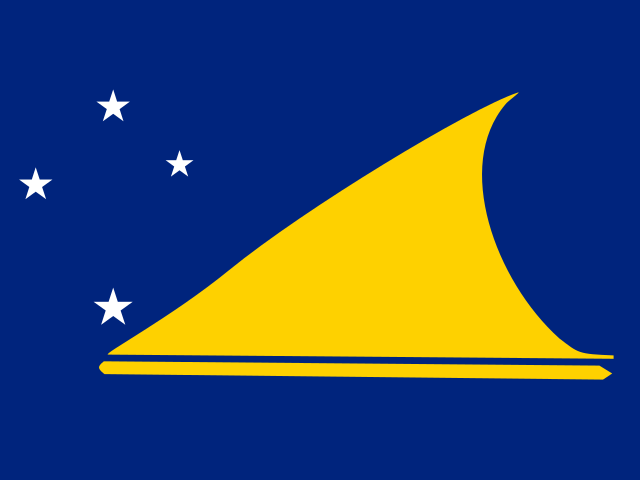 TokelauFakaofo
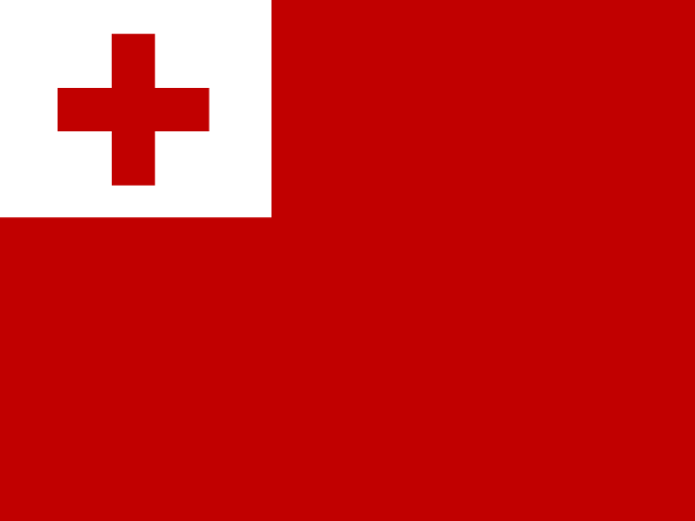 TongaNuku'alofa
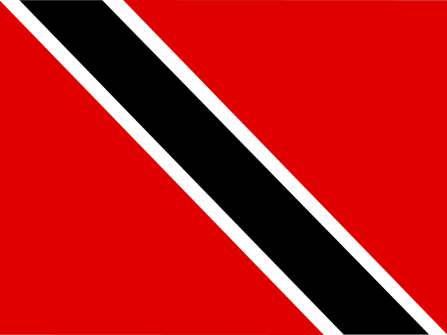 Trinidad and TobagoPort of Spain
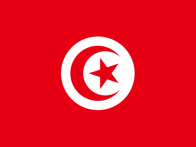 TunisiaTunis
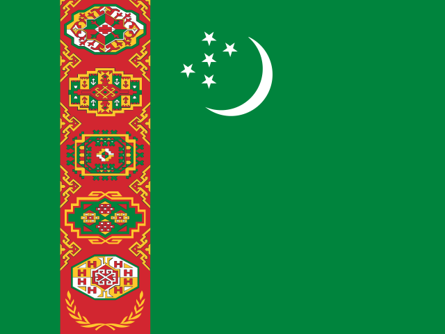 TurkmenistanAshgabat
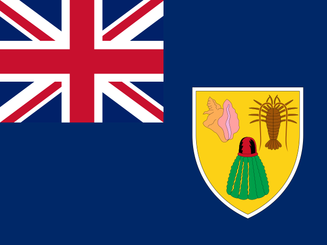 Turks and Caicos IslandsCockburn Town
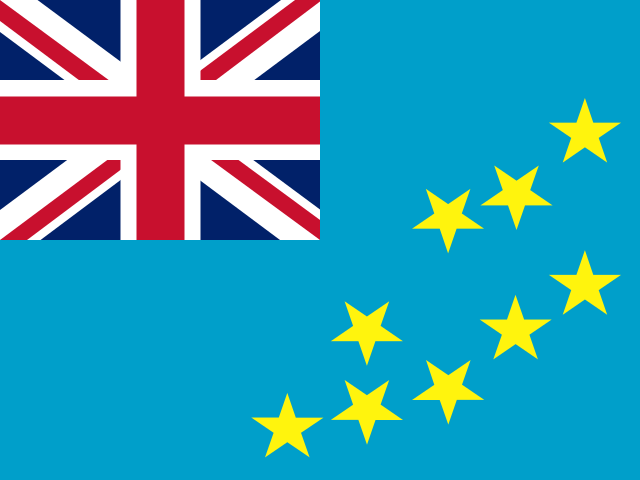 TuvaluFunafuti
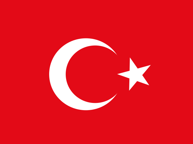 TürkiyeAnkara
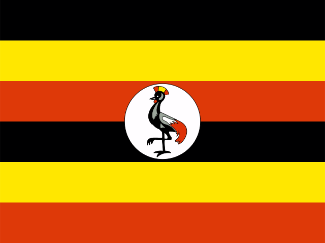 UgandaKampala
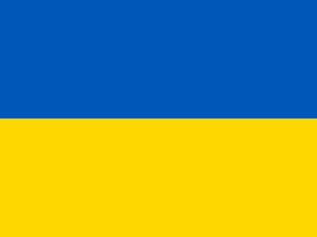 UkraineKyiv
 United Arab EmiratesAbu Dhabi
 United KingdomLondon
 United StatesWashington D.C.
 United States Minor Outlying IslandsAmericas
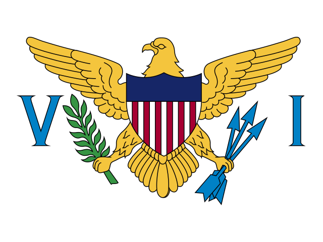 United States Virgin IslandsCharlotte Amalie
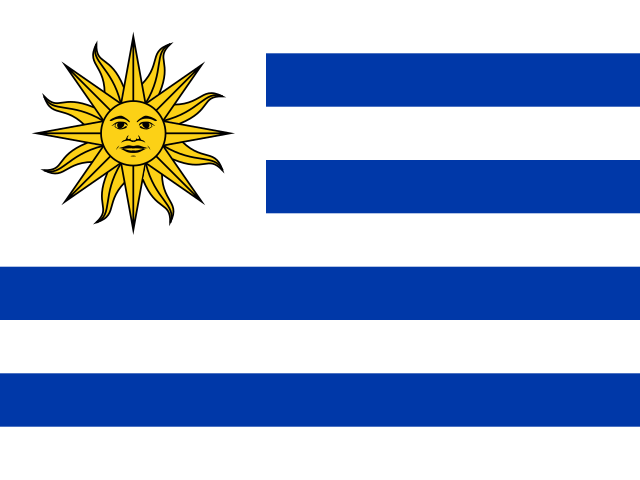 UruguayMontevideo
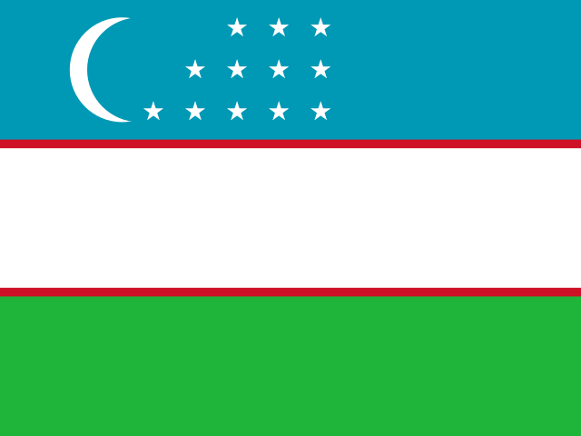 UzbekistanTashkent
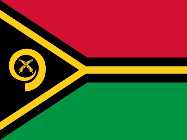 VanuatuPort Vila
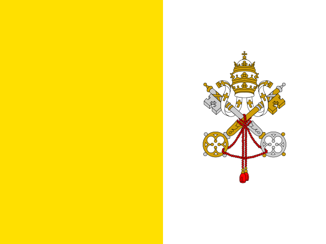 Vatican CityVatican City
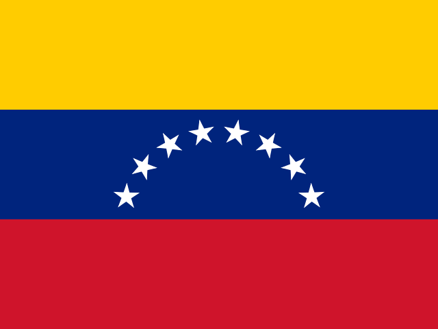 VenezuelaCaracas
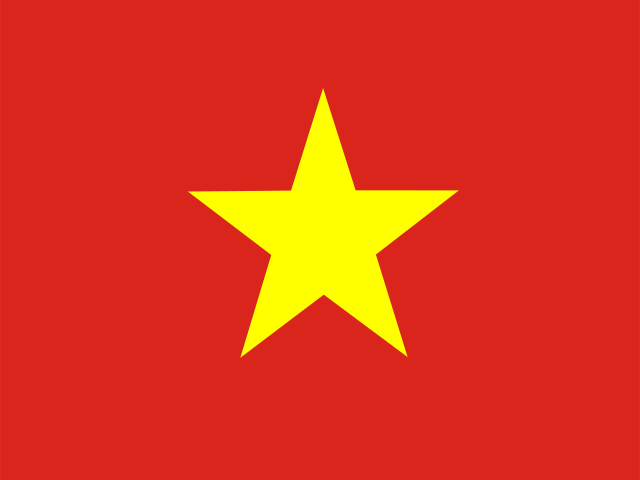 VietnamHanoi
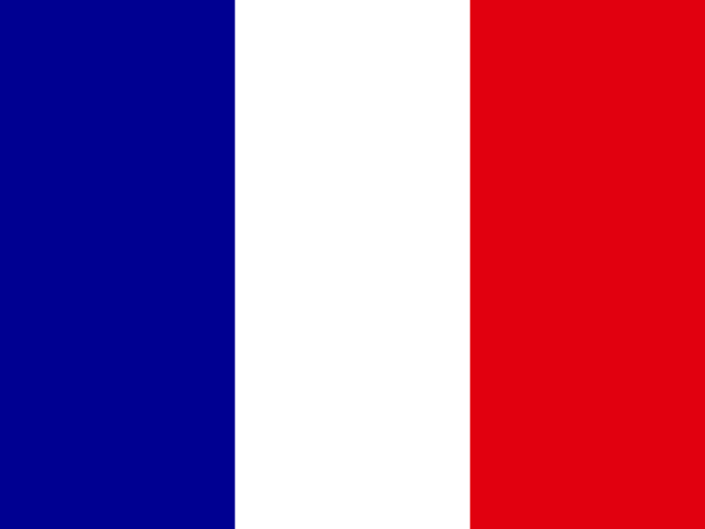 Wallis and FutunaMata-Utu
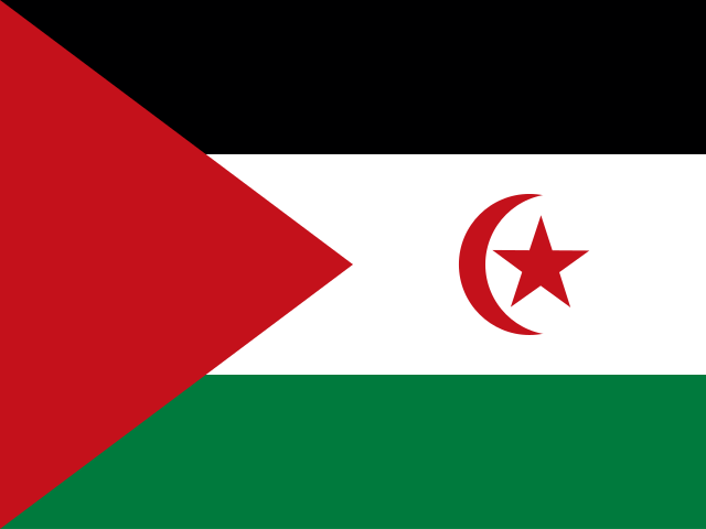 Western SaharaEl Aaiún
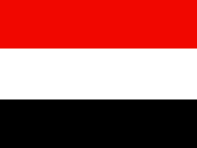 YemenSana'a
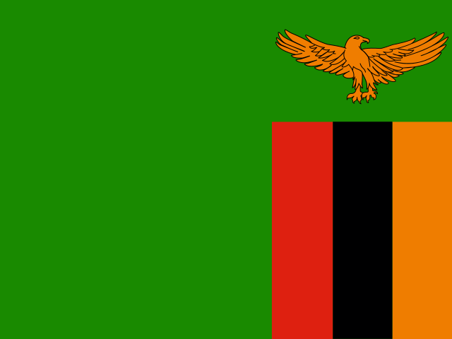 ZambiaLusaka
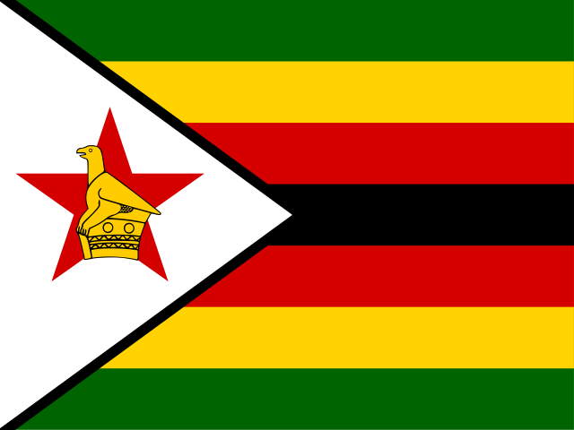 ZimbabweHarare
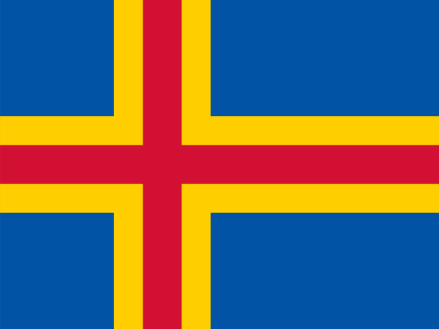 Åland IslandsMariehamn
Why this list has 249 entries and not 195
Ask how many countries there are and you will get several confident, contradictory answers. The most defensible one is 192, the number of United Nations member states. Add the two permanent observers, the Holy See and Palestine, and you land on the 195 that quiz shows use. Neither figure tells you what to do with Greenland, Puerto Rico, Hong Kong, Bermuda or the Falkland Islands, all of which have their own flag, their own capital and their own statistics without being sovereign states.
This page takes the wider view. It lists 249 entries: the 192 UN members plus 57 territories, dependencies, self-governing islands and partly recognised states. Every row is tagged with its continent, so you can always narrow back down. If you need the strict sovereign-state list for revision, work from the 192 UN members and ignore the rest.
The consequence worth knowing about is that derived counts on this site run higher than the textbook ones. Landlocked entries, island entries and per-continent totals all include territories, so the numbers here will not match a figure you half-remember from school. Each time that happens the difference is spelled out rather than glossed over, because a number without its definition is not a fact, it is a guess.
Together the 249 entries account for 8.13 billion people, 155 distinct languages and 161 distinct currencies, spread across 25 subregions. Start with the search box above, or jump straight to a continent from the continent index.
The list at a glance
These eight figures are calculated from the dataset behind this page each time the site is built, so they match the rows above rather than a number copied off another website.
249
Entries in the list
192
UN member states
57
Territories & dependencies
8.13 billion
People covered
155
Distinct languages
161
Distinct currencies
85
With no land border
45
With no coastline
How the 249 entries split by continent
Africa is the largest group by number of entries. Asia is the largest by a very long way once you count people. Note the Antarctic row: it exists because the dataset needs somewhere to put Antarctica itself and four sub-Antarctic island groups, none of which is a UN member.
| Continent | Entries | UN members | Landlocked | Most populous |
|---|---|---|---|---|
| Africa | 59 | 54 | 16 | Nigeria |
| Americas | 55 | 34 | 2 | United States |
| Europe | 53 | 44 | 15 | Russia |
| Asia | 50 | 46 | 12 | India |
| Oceania | 27 | 14 | 0 | Australia |
| Antarctic | 5 | 0 | 0 | Antarctica |
The gap between the entry count and the UN count is where the interesting geography lives. The Americas hold 55 entries but only 34 UN members, because the Caribbean is full of British, French, Dutch and American territories. Oceania is the same story in the Pacific: 27 entries, 14 of them sovereign.
Africa is the closest to a clean match, with 54 UN members out of 59 entries, a legacy of decolonisation being largely complete there. Each continent has its own page with the full country list and a region-locked spin: Africa, Asia, Europe, the Americas and Oceania.
The extremes of the list
Averages hide how lopsided the world is. The four records below are pulled straight from the same 249 rows you can search above.
Largest by area
Russia
17,098,242 km²
Smallest by area
Vatican City
0.44 km²
Most populous
India
1,450,935,791 people
Fewest people (inhabited)
South Georgia
30 people
Russia at 17,098,242 km² is about 1.7 times the size of Canada, the largest sovereign country after it, and Vatican City at 0.44 km² would fit inside a large city park. That is a ratio of roughly forty million to one across a single column of the same table. Population is nearly as skewed: India and China between them hold more people than the bottom two hundred entries put together.
Borders are the third axis. China touches 16 other countries, more than any other entry, while 85 entries touch none at all. If you want to see those extremes on individual pages rather than in aggregate, the random country generator is a faster way to meet an unfamiliar one than scrolling to the letter you always scroll to.
Landlocked, islands, and why the counts look odd
Of the 249 entries, 45 have no coastline. The number you will see quoted almost everywhere else is 43, and both are correct: 43 of these are UN member states, and the extra one is Kosovo, which is landlocked and recognised by roughly half the world but is not a UN member. No territory or dependency happens to be landlocked, which is why the gap is a single entry rather than a dozen.
Being landlocked is not a trivia label. It adds cost to every import and export, it makes a country dependent on a neighbour’s roads, railways and goodwill, and two entries in this list are doubly landlocked, meaning every neighbour is landlocked too. Europe holds the most landlocked entries, with Asia and Africa close behind. Oceania has none at all, for reasons that need no explanation. There is a dedicated landlocked countries page that breaks all of them down by continent with the neighbours listed.
The mirror image is stranger. 85 entries share no land border with anybody, of which 38 are UN members. That total dwarfs the usual “island nations” figure because the Caribbean and the Pacific are full of small territories, and because a handful of continental entries have coast on every side that matters. Use 38 if you want sovereign island states and 85 if you want every landmass with no road out.
One more quirk of an alphabetical list of this size. The letter S carries 33 entries, far more than any other, largely thanks to seven names beginning with Saint and a run of South and Sri. C is next with 22. No entry begins with X, and O, Q, Y, Å each have exactly one, so those letters take about two seconds to revise. The last of those is not a typo: the Åland Islands sort under Å rather than A, which is exactly the sort of edge case a hand-typed list gets wrong.
Four ways people use this page
Looking up one fact
Type a country or a capital, open the page, get the capital, currency, calling code or language in a couple of seconds. That is what most visits are.
Revising for geography
Work through one continent at a time rather than all 249 at once. Africa and the Americas are the two that catch people out, because both are dense with entries most syllabuses skip.
Planning a trip
Compare neighbours, check which languages and currency you will need, and see whether a country is landlocked before you assume there is a coast to reach.
Settling an argument
Whether Kosovo counts, whether Taiwan is listed, how many countries there really are. The definitions on this page are stated openly so you can point at them.
Do something with the list
A list is a reference. These pages turn the same 249 entries into something you can play with.
Spin the globe
One click, one of 249 countries, with its flag and facts.
Random Country Generator
Filter by continent, draw as many as you like, no repeats.
Capital City Quiz
Multiple-choice drilling on capitals, scored as you go.
Guess the Flag
See a flag, name the country. Harder than it sounds past the first twenty.
Find a Flag
Search flags by colour and pattern when you half-remember one.
Browse by Continent
The same list cut into six regions, with totals for each.
Landlocked Countries
All 45 entries with no coastline, grouped by continent.
Wheel Spinner
Put your own shortlist of countries on a wheel and let it choose.
Geography Notes
Longer pieces on borders, capitals and the odd corners of the map.
Frequently asked questions
How many countries are there in the world?
It depends on what you count. There are 192 member states of the United Nations, and that is the figure most people mean by "countries". This list holds 249 entries because it also includes 57 dependencies, overseas territories, self-governing islands and partly recognised states that have their own flag, capital and statistics.
Why does this list show 249 entries instead of 195?
The familiar 195 is 192 UN member states plus two permanent observers, the Holy See and Palestine. This page uses the wider ISO-style set, so places like Puerto Rico, Greenland, Hong Kong and Gibraltar each get a row. Every entry is labelled by continent, and the 192 UN members are the subset you want if you are revising for an exam.
Which country has the largest population?
India leads with 1,450,935,791 people, just ahead of China on 1,408,975,000. The top five together account for close to half of everyone alive. The smallest inhabited entry in the dataset is South Georgia, with about 30 residents.
What is the largest country by area?
Russia covers 17,098,242 km², roughly 1.7 times the size of Canada, the largest sovereign country after it. The only other entry above 10 million km² is Antarctica, which is a continent rather than a country. Vatican City sits at the other end at 0.44 km².
How many landlocked countries are on this list?
45 entries have no coastline at all, of which 43 are UN member states. The usual textbook answer is 43; this list reaches 45 because it also counts Kosovo, which is landlocked but not a UN member. A dedicated page breaks all of them down by continent.
How do I find a country by its capital city?
Type the capital into the search box at the top of the page. The filter checks country name, capital city and continent at the same time, so typing Lima, Asia or Vienna all return useful results. It matches as you type, with no need to press enter.
Are the flags on this page official?
Every flag comes from the current official design, and each country page shows a larger image alongside the flag emoji used in the list. Emoji flags render differently on Windows, Android, iOS and macOS because each platform draws its own artwork, so the shapes and shades vary a little between devices.
What does each individual country page include?
Capital, continent and subregion, population, land area, official and spoken languages, currency with its symbol, calling code, internet domain, land neighbours, whether it is landlocked, and a set of short facts. There is also a map position and a list of nearby countries in the same region to keep browsing.
How often is the data updated?
Populations and areas are refreshed against the source dataset in batches rather than continuously, so treat them as recent estimates rather than live census figures. Names, capitals, flags, currencies and borders change far more rarely and are checked whenever a country makes news for a rename or a capital move.
Is anything missing or incomplete in the data?
A few entries are genuinely thin, and pretending otherwise would be worse than saying so. 5 entries have no capital city, because Antarctica and several uninhabited islands do not have one. 2 have a recorded population of zero, and 0 carries no usable area figure at all.
Can I use this list to quiz myself?
Yes, and that is what several of the other pages here are for. The capital city quiz drills capitals against the same dataset, the flag games test recognition, and the random country generator is a quick way to get an unfamiliar country to read about rather than always landing on the ones you already know.
Is the list free to use?
Completely free, with no account, no sign-up and no limit on how many pages you open. The site is paid for by advertising, which is why you will see clearly marked ad slots between the content sections rather than in the middle of the list itself.
Where the data comes from
Names, capitals, flags, currencies, calling codes and borders come from the open ISO country dataset. Population and area figures are estimates and are refreshed in batches, so a fast-moving population may lag reality by a year. Nothing on this page is generated by guesswork: if a figure is not in the dataset it is not printed, which is why 5 entries show no capital and 2 show no population. If you spot something wrong, send a correction and it gets fixed in the next update. More on who runs this and why is on the about page.