Countries in Americas
55 countries and territories stretched across two continents and 41,801,081 km², from the Arctic coast of Canada to Cape Horn. Spin the wheel for a random country in the Americas, or browse the full list below.
12 countries are on the wheel right now.
Press Spin and the pointer decides where you are going.
Twelve of 55 countries are loaded at a time so every wedge stays readable. Shuffle for a fresh twelve, or spin the wheel you have.
Americas at a glance
55
Countries & territories
34
Sovereign states
1.03 billion
Total population
12.6%
Share of world population
41,801,081 km²
Combined land area
2
Landlocked
29
No land border
13
Official languages
All countries in Americas (A–Z)
Every entry below opens a full guide with the capital, population, land area, languages, currency, neighbouring countries and a map. 34 of these 55 are sovereign states; the rest are territories, dependencies and overseas regions.
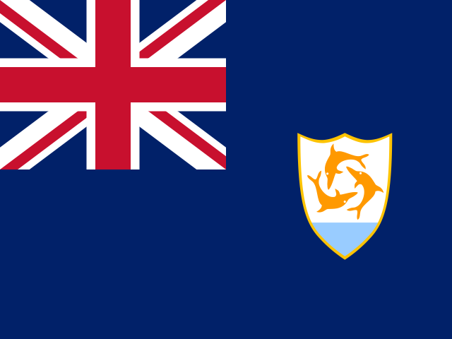
Anguilla
The Valley15,900
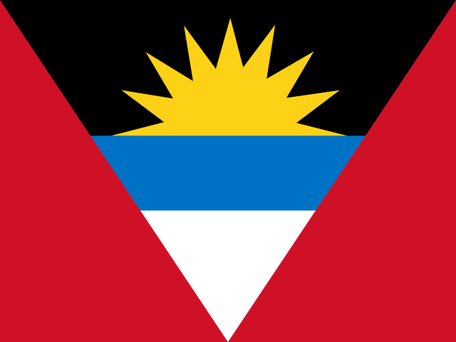
Antigua and Barbuda
Saint John's93,772
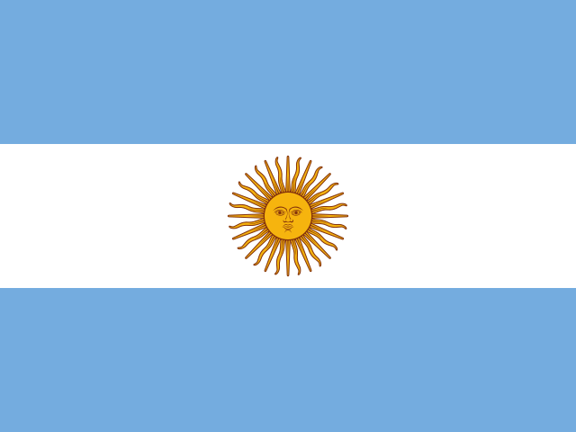
Argentina
Buenos Aires45.7 million
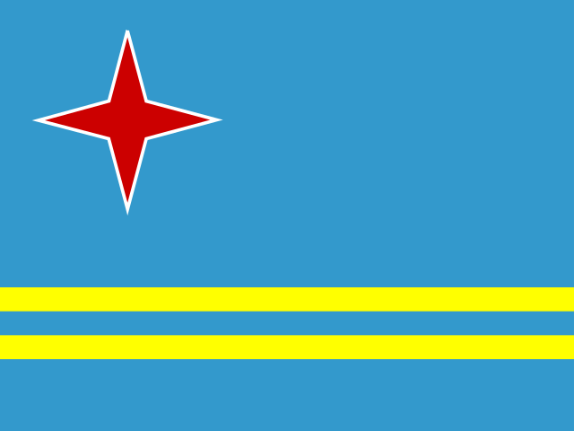
Aruba
Oranjestad107,995
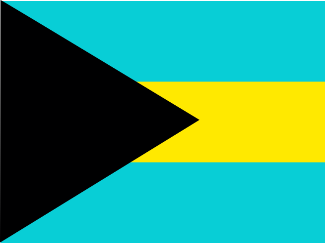
Bahamas
Nassau401,283
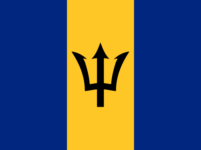
Barbados
Bridgetown282,467
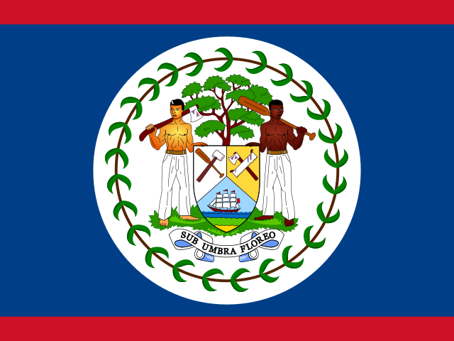
Belize
Belmopan417,072
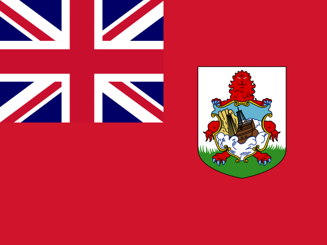
Bermuda
Hamilton64,636
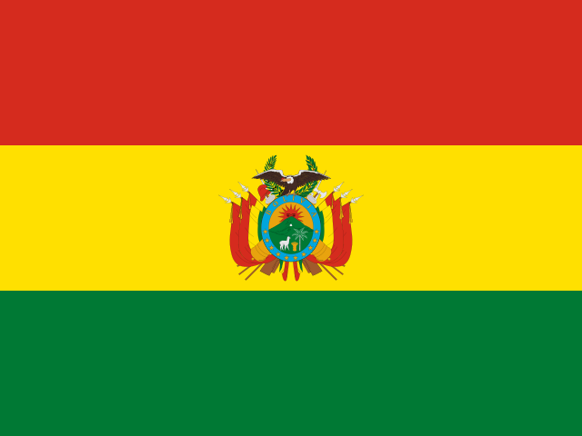
Bolivia
Sucre12.4 million
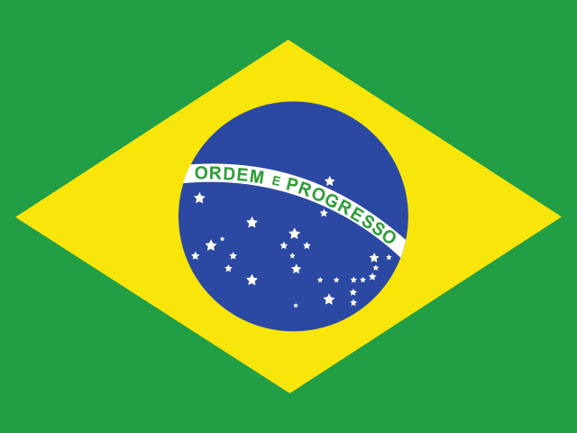
Brazil
Brasília212.0 million
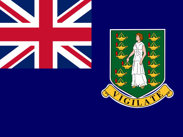
British Virgin Islands
Road Town39,471
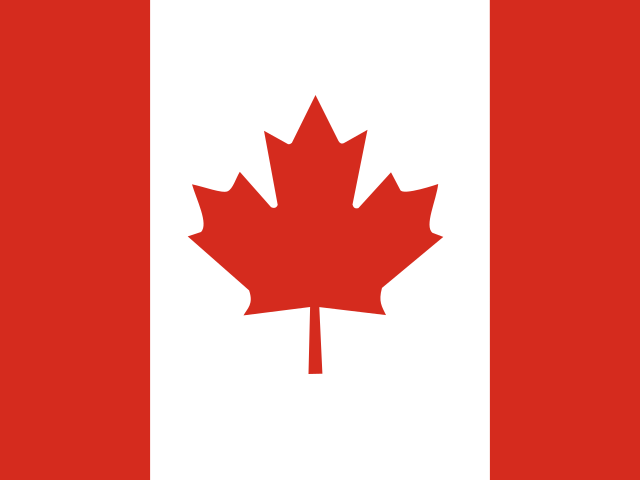
Canada
Ottawa41.3 million
Caribbean Netherlands
Kralendijk30,000
Cayman Islands
George Town74,457
Chile
Santiago19.8 million
Colombia
Bogotá52.9 million
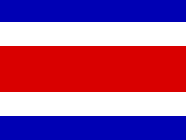
Costa Rica
San José5.1 million
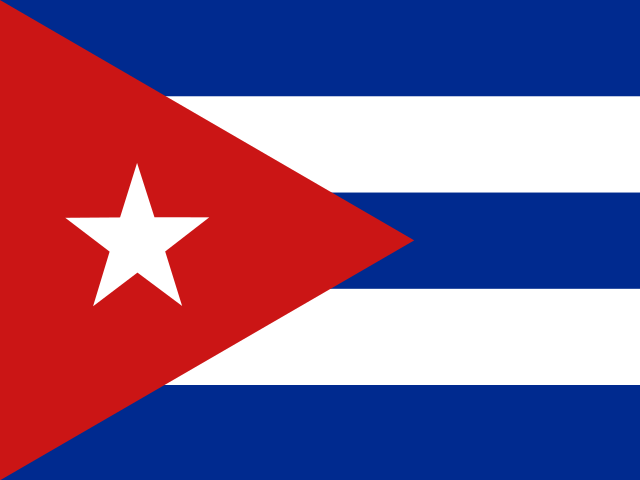
Cuba
Havana11.0 million
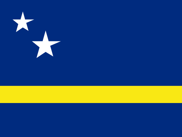
Curaçao
Willemstad155,967
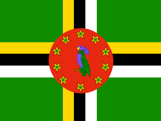
Dominica
Roseau66,205
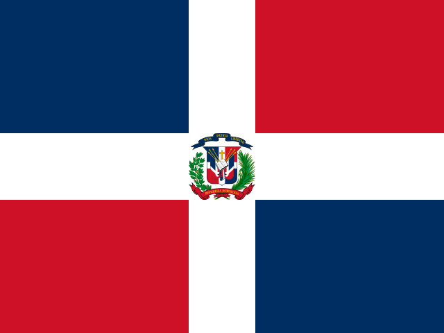
Dominican Republic
Santo Domingo11.4 million
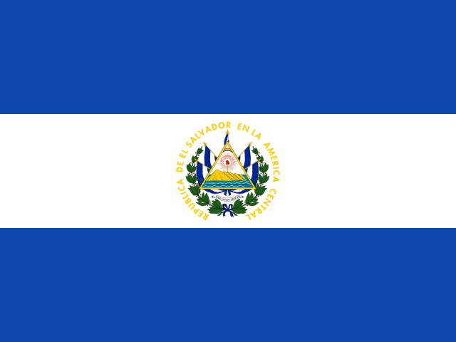
El Salvador
San Salvador6.3 million
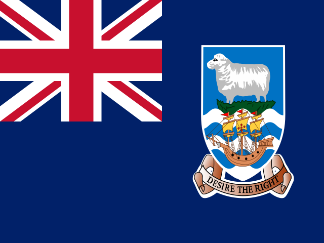
Falkland Islands
Stanley3,700
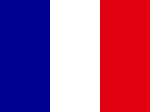
French Guiana
Cayenne300,000
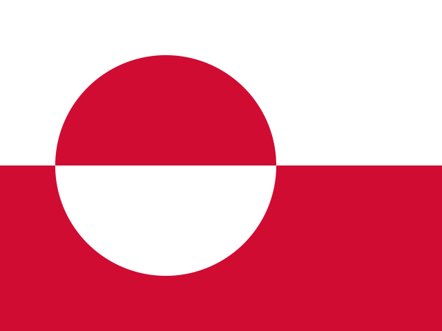
Greenland
Nuuk56,836
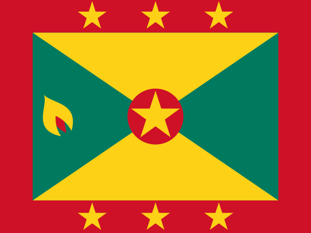
Grenada
St. George's117,207
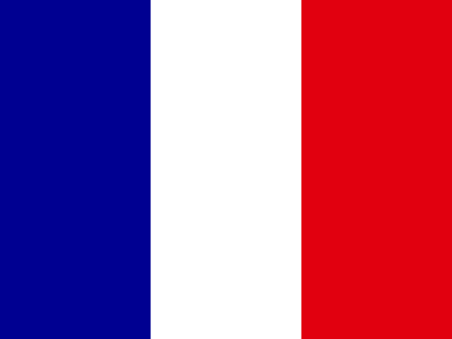
Guadeloupe
Basse-Terre378,000
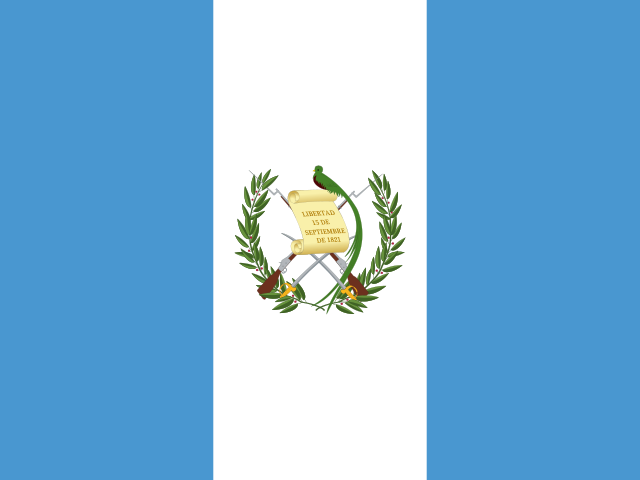
Guatemala
Guatemala City18.4 million
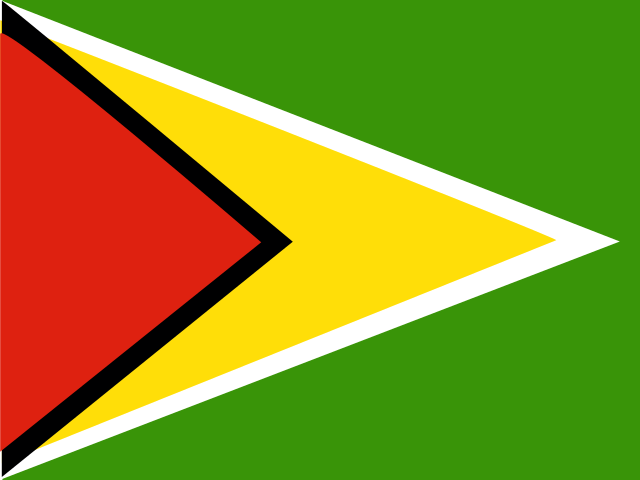
Guyana
Georgetown831,087
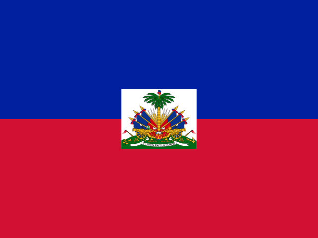
Haiti
Port-au-Prince11.8 million
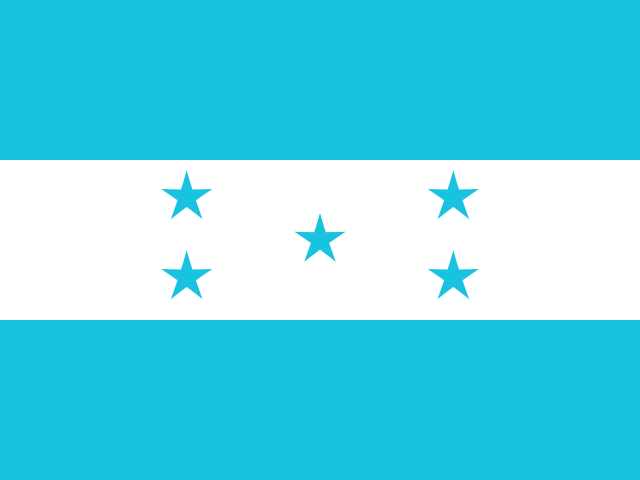
Honduras
Tegucigalpa10.8 million
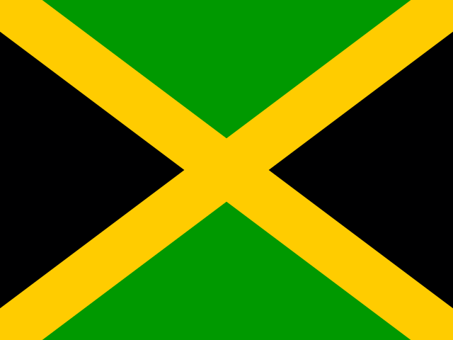
Jamaica
Kingston2.8 million
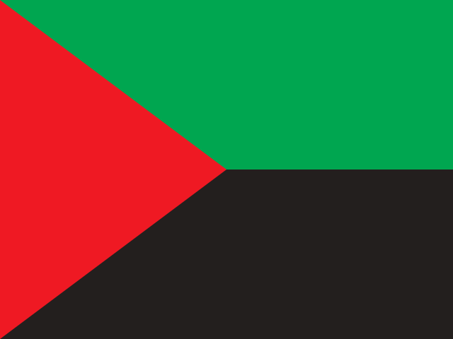
Martinique
Fort-de-France360,000
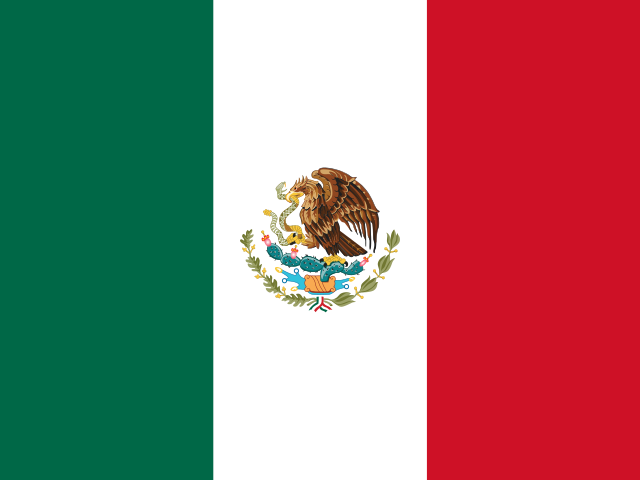
Mexico
Mexico City130.9 million
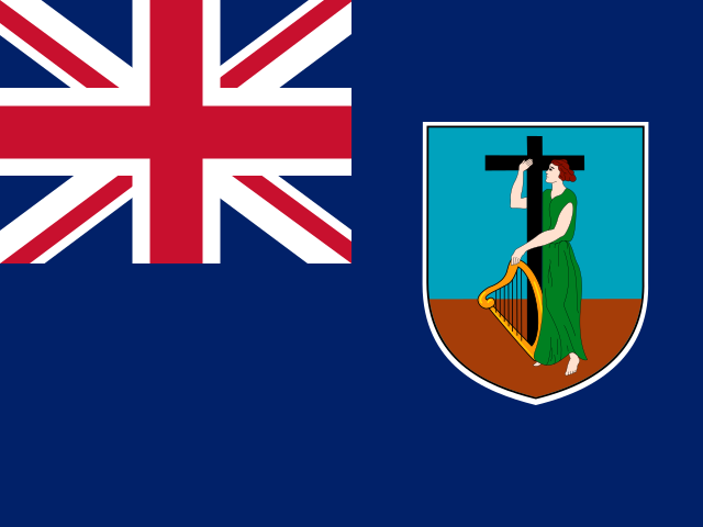
Montserrat
Plymouth4,400
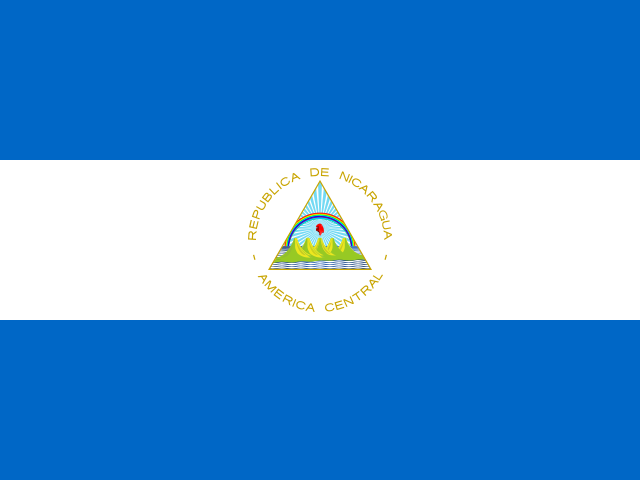
Nicaragua
Managua6.9 million
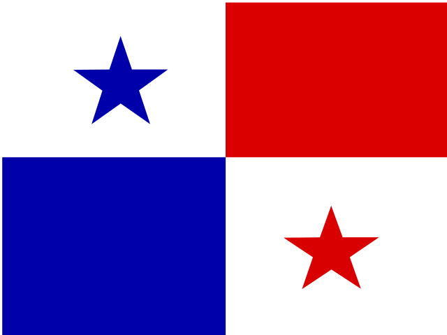
Panama
Panama City4.5 million
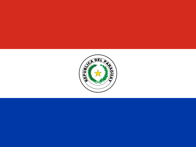
Paraguay
Asunción6.9 million
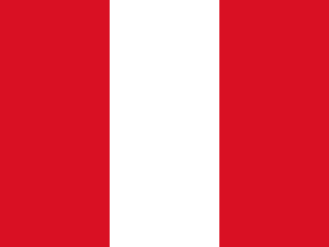
Peru
Lima34.2 million
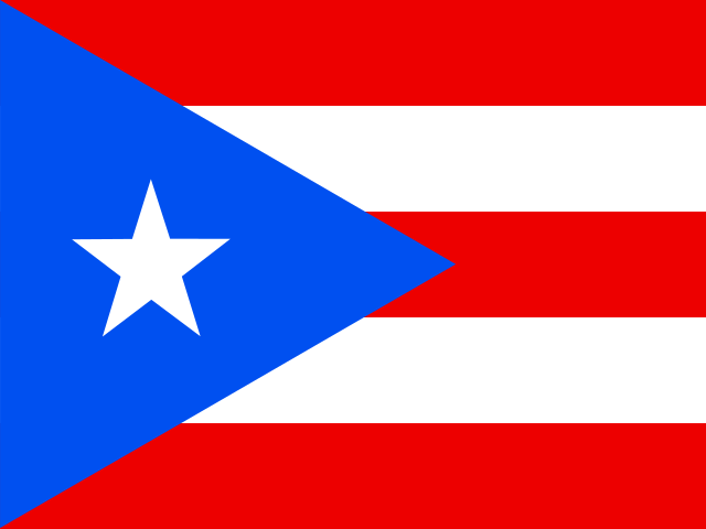
Puerto Rico
San Juan3.2 million
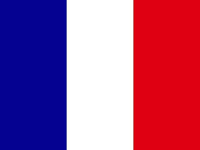
Saint Barthélemy
Gustavia11,000
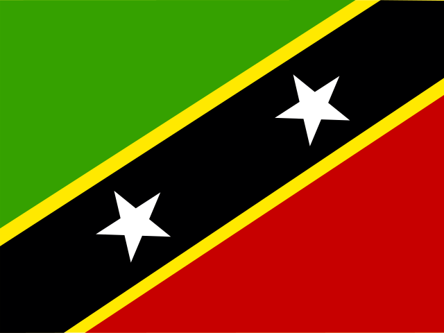
Saint Kitts and Nevis
Basseterre46,843
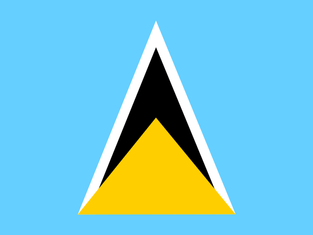
Saint Lucia
Castries179,744
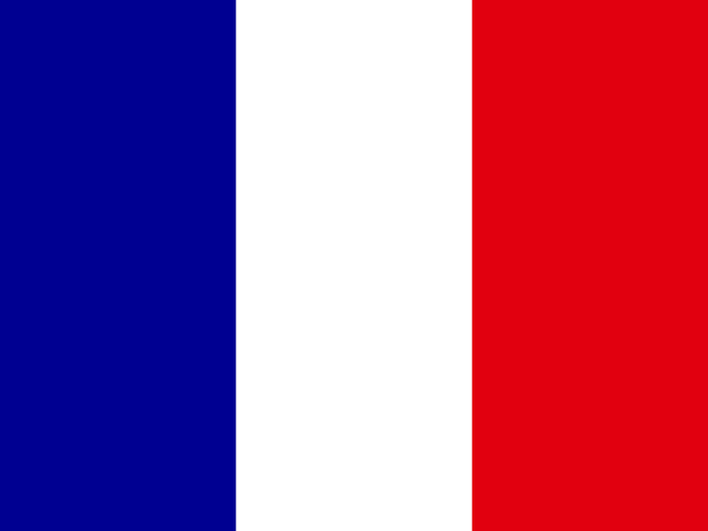
Saint Martin
Marigot26,129
Saint Pierre and Miquelon
Saint-Pierre5,800
Saint Vincent and the Grenadines
Kingstown100,616
Sint Maarten
Philipsburg43,350
Suriname
Paramaribo634,431
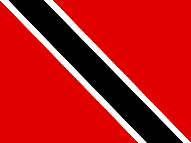
Trinidad and Tobago
Port of Spain1.4 million
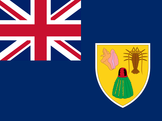
Turks and Caicos Islands
Cockburn Town46,535
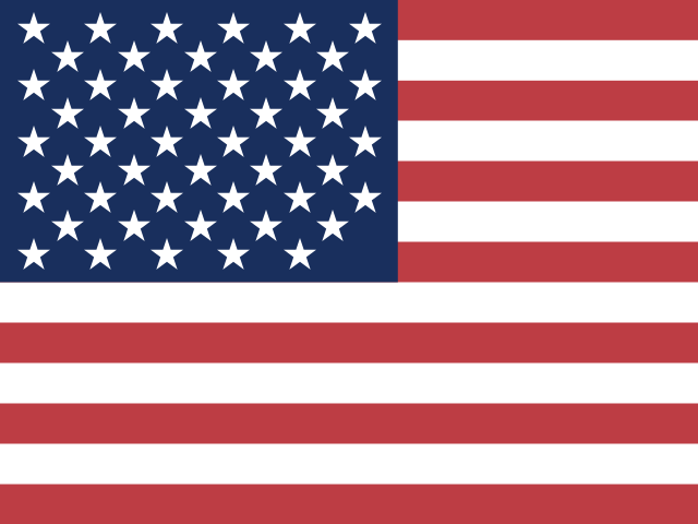
United States
Washington D.C.340.1 million
United States Minor Outlying Islands
North America300
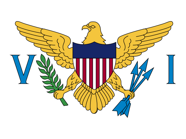
United States Virgin Islands
Charlotte Amalie104,377
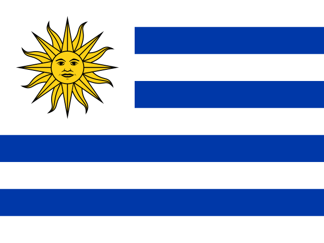
Uruguay
Montevideo3.4 million
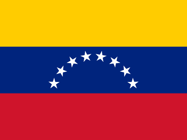
Venezuela
Caracas28.4 million
Two continents, one region, and a great many islands
The Americas run further north to south than any other landmass on Earth, and this page covers the whole of it: 55 countries and territories, 34 of them sovereign states and 21 of them dependencies or overseas regions. Combined, they cover 41,801,081 km² and hold 1.03 billion people, which is 12.6% of the world's population on roughly a third of its habitable land.
The surprise in the numbers is the Caribbean. Of the 55 entries here, 28 are Caribbean — exactly half the region. South America, which most people picture first when they think of the Americas, contributes only 13. The Caribbean is where the political map fragments into dozens of small islands, many of them still tied to European powers.
That fragmentation shows up in another figure: 29 of the 55 entries share no land border with anyone. Only 2 are landlocked — Bolivia and Paraguay, both in the interior of South America — which makes the Americas the least landlocked populated region on the planet. Almost everywhere here has a coast, and a great deal of the region's history was written by whoever controlled the sea lanes.
The extremes of the Americas
Largest by area
Canada
9,984,670 km²
Smallest by area
Saint Barthélemy
21 km²
Most populous
United States
340.1 million
Fewest people
United States Minor Outlying Islands
300
Canada is the largest entry at 9,984,670 km², narrowly ahead of the United States at 9,372,610 km² and Brazil in third. The gap between first and third is small; the gap between third and fourth is enormous, because Argentina covers less than a third of Brazil's area. Three countries account for well over half the region's land.
Population runs the other way. United States has 340.1 million residents, Brazil 212.0 million, and then it drops away fast. The smallest sovereign state here is Saint Kitts and Nevis, with roughly 46,800 people on 261 km² — a country you could drive around in an afternoon. The smallest entry of any kind is Saint Barthélemy at 21 km².
How the Americas divide up
Caribbean
2844.3 million people across 28 entries.
South America
13417.5 million people across 13 entries.
Central America
752.5 million people across 7 entries.
North America
7512.4 million people across 7 entries.
Four subregions, wildly uneven. The Caribbean dominates by count with 28 entries but holds a small fraction of the population. South America has 13 entries and roughly two-fifths of the people. North America and Central America have 7 and 7 respectively.
The North America grouping is the odd one, because it includes Greenland and Bermuda alongside the United States, Canada and Mexico. Greenland is the standout: 2,166,086 km² of mostly ice with fewer than sixty thousand residents, self-governing but part of the Kingdom of Denmark, and geologically North American while politically European. It is the single best argument for why "how many countries are there" has no clean answer.
Language and currency in the Americas
Most widespread official languages
- Englishofficial in 27 places
- Spanishofficial in 19 places
- Frenchofficial in 9 places
- Dutchofficial in 5 places
- Guaraníofficial in 3 places
- Papiamentoofficial in 3 places
13 distinct official languages recorded across Americas.
Most widely used currencies
- United States dollar (USD)10 places
- Eastern Caribbean dollar (XCD)8 places
- Euro (EUR)6 places
- Netherlands Antillean guilder (ANG)2 places
- Argentine peso (ARS)1 place
- Aruban florin (AWG)1 place
36 distinct currencies in circulation across Americas.
The Americas are linguistically the most concentrated region in this dataset: just 13 official languages across 55 entries, against 48 in Africa. English is official in 27 of them, Spanish in 19, French in 9 and Dutch in 5. Four European languages cover nearly the entire hemisphere, which is a blunt summary of five centuries of colonisation.
Indigenous languages hold official status in only a handful of places — Guaraní in Paraguay, Aymara and Quechua in Bolivia and Peru — despite hundreds still being spoken daily. On the money side, 10 entries use the United States dollar outright and 8 share the Eastern Caribbean dollar, a single currency covering most of the Lesser Antilles. A further 6 use the euro, all of them French or Dutch overseas territories.
Compare Americas with the rest of the world
Every region has its own page built the same way, so the figures line up and you can put them side by side. The count beside each name is how many countries and territories it holds.
If you would rather not pick a region at all, the global country wheel carries all 249 entries on the site, and the full A–Z index lets you search rather than spin. The continents overview compares all six regions on one screen.
Once you know the map, test it. The capital city quiz can be filtered by region, guess the flag strips out the country names entirely, and the landlocked countries page covers the 2 entries here with no coastline alongside the rest of the world's. There are longer write-ups on the blog if you want the background behind the numbers.
Americas: frequently asked questions
How many countries are there in the Americas?
There are 34 sovereign countries in the Americas. This page lists 55 entries because it also covers territories such as Puerto Rico, Greenland, Bermuda, Martinique and the Falkland Islands. Split by continent, that is 12 sovereign states in South America, 3 in North America, 7 in Central America and 13 in the Caribbean.
What is the largest country in the Americas?
Canada, at 9,984,670 km², which also makes it the second-largest country in the world after Russia. The United States is a close second in the region and Brazil a close third. Despite its size, Canada has only 41.3 million residents, most of them within a hundred miles of the southern border.
Which countries in the Americas are landlocked?
Only 2: Bolivia and Paraguay, both in the interior of South America. Bolivia lost its Pacific coastline to Chile in the War of the Pacific in 1884 and has never accepted the loss — it still maintains a navy on Lake Titicaca and marks a national Day of the Sea every March. Paraguay reaches the sea through the Paraná river system.
How many Caribbean countries and territories are there?
28 of the 55 entries on this page are Caribbean, which is exactly half. Thirteen are independent sovereign states and the rest are territories of the United States, the United Kingdom, France or the Netherlands. It is the most politically fragmented part of the Americas by a wide margin.
What is the smallest country in the Americas?
Saint Kitts and Nevis, at 261 km² with about 46,800 residents, is the smallest sovereign state in the Americas and the smallest in the Western Hemisphere. The smallest entry of any kind on this page is Saint Barthélemy at 21 km², a French overseas collectivity in the Lesser Antilles.
Is Greenland part of the Americas?
Geographically yes — Greenland sits on the North American tectonic plate and is closer to Canada than to Europe, which is why it appears in this region. Politically it is an autonomous territory within the Kingdom of Denmark. At 2,166,086 km² it is the world's largest island and larger than every country in the Americas except Canada, the United States, Brazil and Argentina, yet fewer than sixty thousand people live there.
How is the random country wheel on this page different from the main one?
This wheel is loaded only with countries from this region, so every spin lands inside it. The wheel on the main spin page draws twelve at a time from every country and territory on the site. Use the regional wheel when you are studying one part of the world and the global one when you want a genuine surprise.
Where do these population and area figures come from?
They come from the same dataset that powers every country guide on this site, built on public country data and the most recent published estimates for population and land area. Population figures in particular are estimates and move constantly, so treat them as accurate to within a percent or two rather than to the last person.
Why does this page count territories as well as countries?
Because they are real places with flags, capitals and residents, and leaving them out would hide some of the most interesting entries on the map. Every guide states plainly whether a place is a sovereign state or a territory, and the sovereign count is given separately in the statistics above so you can use whichever number you need.
Can I use these figures in a school project?
Yes, and it is worth citing the date you looked them up, because population estimates change. If your project needs one authoritative source, cross-check the headline numbers against the UN World Population Prospects or the country's own statistics office. The rankings here — largest, smallest, most populous — are stable and safe to quote.